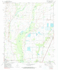
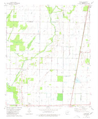
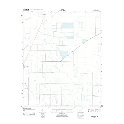
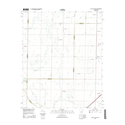
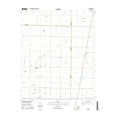
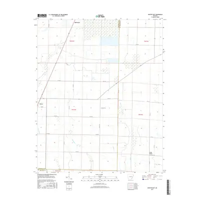
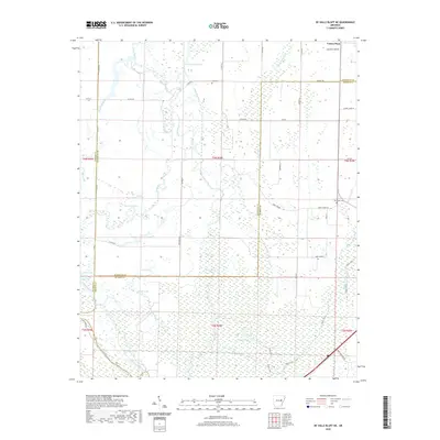
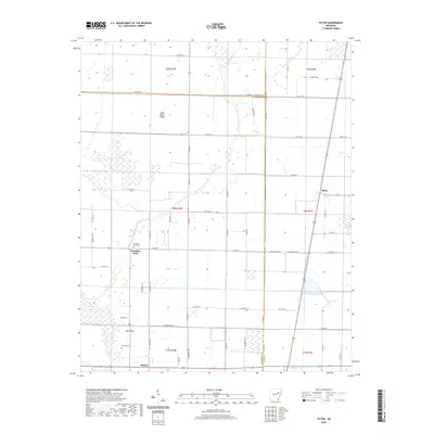
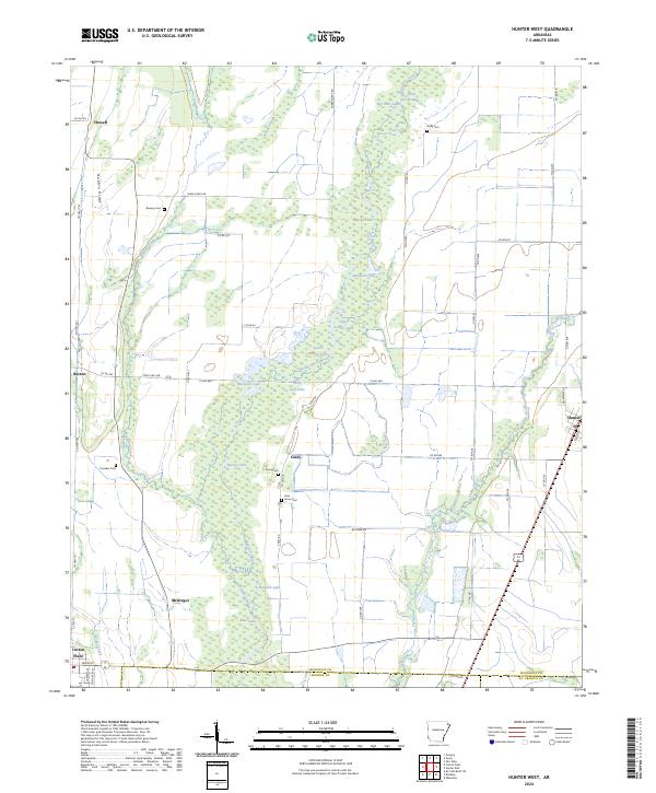
1971 Map of Hunter West
USGS Topo · Published 1990About this map
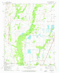
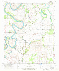
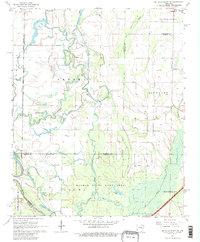
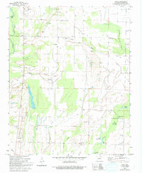
Bayou De View and Buffalo Creek meander through this agricultural landscape on the border of Woodruff, Monroe, and St. Francis Counties. The 1970s terrain is characterized by a high water table and intricate drainage, evidenced by a vast network of named lakes and sloughs including Upper Seibert Lake, Polly Ann Lake, and Locust Slough. While the settlement of Hunter anchors the eastern edge along the St Louis Southwestern railroad, the map reveals a history of dispersed rural communities and family landmarks. Small clusters like Four Forks and Casey appear alongside several established burial grounds such as Reneau Cem and Holly Cem, which serve as vital markers for genealogical research in this delta region. The presence of Minnow Ponds and a Fish Farm indicates the specialized aquaculture that developed alongside traditional farming, while the Landing Strip near Howell suggests the role of aerial application in the local economy.
Find a feature on this map
42 named features on this map. Tap any name to fly to it.
Don’t see what you’re looking for? This feature index may not catch every label — zoom into the map to look around manually.
Map Details
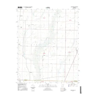
Editions of this 1971 Hunter West Map
3 editions found
Historical Maps of Cotton Plant Through Time
37 maps found
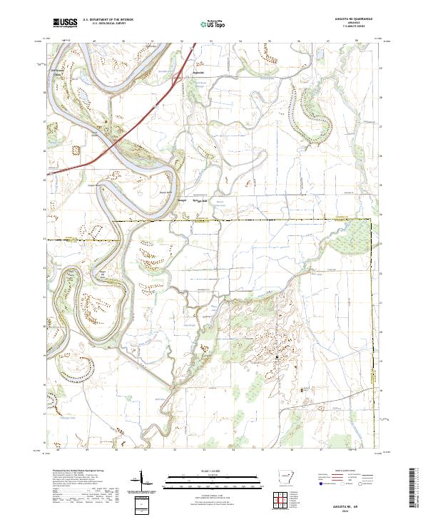
1967 Augusta NE
Woodruff County, AR
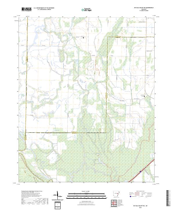
1968 De Valls Bluff NE
Woodruff County, AR
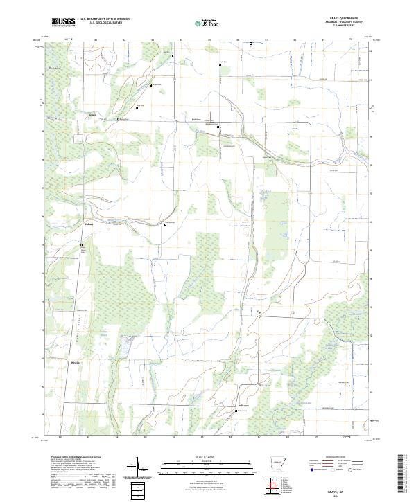
1971 Grays
Woodruff County, AR
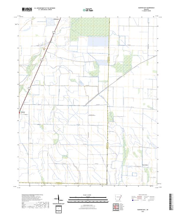
1971 Hunter East
Woodruff County, AR
1971 Hunter West
Woodruff County, AR
1980 Mc Crory
Woodruff County, AR
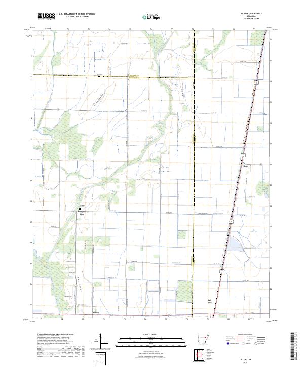
1980 Tilton
Woodruff County, AR
2011 Augusta NE
Woodruff County, AR
2011 De Valls Bluff NE
Woodruff County, AR
2011 Grays
Woodruff County, AR
2011 Hunter East
Woodruff County, AR
2011 Hunter West
Woodruff County, AR
2011 Tilton
Woodruff County, AR
2014 Augusta NE
Woodruff County, AR
2014 De Valls Bluff NE
Woodruff County, AR
2014 Grays
Woodruff County, AR
2014 Hunter East
Woodruff County, AR
2014 Hunter West
Woodruff County, AR
2014 Tilton
Woodruff County, AR
2017 Augusta NE
Woodruff County, AR
2017 De Valls Bluff NE
Woodruff County, AR
2017 Grays
Woodruff County, AR
2017 Hunter East
Woodruff County, AR
2017 Hunter West
Woodruff County, AR
2017 Tilton
Woodruff County, AR
2020 Augusta NE
Woodruff County, AR
2020 De Valls Bluff NE
Woodruff County, AR
2020 Grays
Woodruff County, AR
2020 Hunter East
Woodruff County, AR
2020 Hunter West
Woodruff County, AR
2020 Tilton
Woodruff County, AR
2024 Augusta NE
Woodruff County, AR
2024 De Valls Bluff NE
Woodruff County, AR
2024 Grays
Woodruff County, AR
2024 Hunter East
Woodruff County, AR
2024 Hunter West
Woodruff County, AR
2024 Tilton
Woodruff County, AR