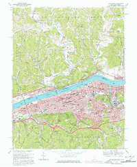
1968 Map of Huntington
USGS Topo · Published 1977About this map
The Ohio River serves as the central artery for this late-1960s study, separating the dense urban grid of Huntington and West Huntington from the wooded hills of the Wayne National Forest. The industrial and educational heart of the region is evident through the footprint of Marshall University and the extensive rail infrastructure of the Chesapeake and Ohio and Baltimore and Ohio railroads. The map documents a mature river-valley landscape where early settlements like Guyandotte and Proctorville have become anchored by modern civic landmarks, including Cabell Huntington Hospital and Fairfield Stadium. On the northern shore, smaller communities such as Chesapeake and Bradrick line the riverfront, while the southern hills transition into residential developments like Beverly Hills and historic interment sites such as Spring Hill Cemetery. Numerous Gas Wells and Oil Wells dot the northern ridges, reflecting the era's active resource extraction.
Find a feature on this map
147 named features on this map. Tap any name to fly to it.
Don’t see what you’re looking for? This feature index may not catch every label — zoom into the map to look around manually.
Map Details
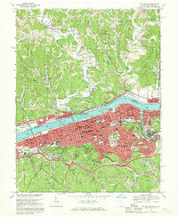
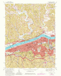
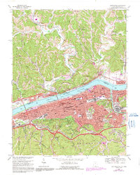
Editions of this 1968 Huntington Map
4 editions found
Other maps of this area

1892 · Huntington
USGS Topo · 1:125,000

1898 · Huntington
USGS Topo · 1:125,000

1898 · Ironton
USGS Topo · 1:62,500

1900 · Ironton
USGS Topo · 1:62,500

1901 · Guyandot
USGS Topo · 1:62,500

1901 · Ceredo
USGS Topo · 1:62,500

1902 · Guyandot
USGS Topo · 1:62,500

1903 · Kenova
USGS Topo · 1:125,000

1904 · Kenova
USGS Topo · 1:125,000

1906 · Athalia
USGS Topo · 1:62,500