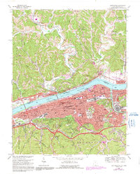
1968 Map of Huntington
USGS Topo · Published 1991About this map
Huntington stands as a massive industrial and educational hub along the southern bank of the Ohio River, its dense street grid punctuated by Marshall University and expansive medical facilities like Cabell Huntington Hospital. The city’s development is framed by the steep ridges of Greek Ridge and Bent Ridge, while the Guyandotte River cuts through the eastern wards to meet the Ohio. Across the water in Ohio, smaller settlements like Proctorville and Chesapeake maintain a distinct riverside character connected by bridges and ferries.
Find a feature on this map
77 named features on this map. Tap any name to fly to it.
Don’t see what you’re looking for? This feature index may not catch every label — zoom into the map to look around manually.
Map Details
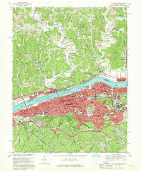
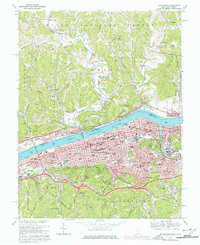
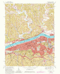
Editions of this 1968 Huntington Map
4 editions found
Other maps of this area

1892 · Huntington
USGS Topo · 1:125,000

1898 · Huntington
USGS Topo · 1:125,000

1898 · Ironton
USGS Topo · 1:62,500

1900 · Ironton
USGS Topo · 1:62,500

1901 · Guyandot
USGS Topo · 1:62,500

1901 · Ceredo
USGS Topo · 1:62,500

1902 · Guyandot
USGS Topo · 1:62,500

1903 · Kenova
USGS Topo · 1:125,000

1904 · Kenova
USGS Topo · 1:125,000

1906 · Athalia
USGS Topo · 1:62,500