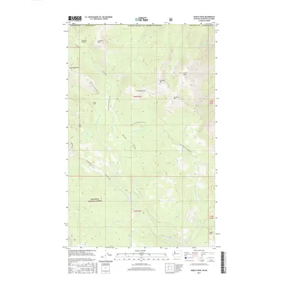
2017 Map of Hurley Peak
USGS Topo · Published 2017About this map
Hurley Peak and Chopaka Mtn dominate the northern crest of this high-altitude landscape, where the international boundary separates the United States and Canada. This 2017 survey shows the high-country divide within the Okanogan National Forest, a terrain of steep drainages and named summits like Joe Mills Mtn and Goodenough Peak. The drainage network is complex, feeding into the N Fork Toats Coulee Cr and the S Fork Toats Coulee Cr, which carve deep valleys across the quadrangle. High meadows and points of interest such as Snowshoe Meadow and the ominous Hells Hole suggest a land of isolation and seasonal activity.
Find a feature on this map
37 named features on this map. Tap any name to fly to it.
Don’t see what you’re looking for? This feature index may not catch every label — zoom into the map to look around manually.
Map Details
Editions of this 2017 Hurley Peak Map
This is the sole edition of this map. No revisions or reprints were ever made.
Other maps of this area

1906 · Chopaka
USGS Topo · 1:125,000

1954 · Okanogan
USGS Topo · 1:250,000

1956 · Loomis
USGS Topo · 1:62,500

1956 · Horseshoe Basin
USGS Topo · 1:62,500

1958 · Okanogan
USGS Topo · 1:250,000
1981 · Corral Butte
USGS Topo · 1:24,000
1981 · Horseshoe Basin
USGS Topo · 1:24,000
1981 · Hurley Peak
USGS Topo · 1:24,000
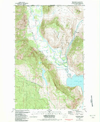
1981 · Nighthawk
USGS Topo · 1:24,000
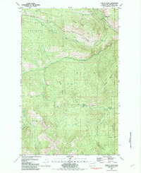
1981 · Duncan Ridge
USGS Topo · 1:24,000