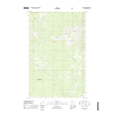
2020 Map of Hurley Peak
USGS Topo · Published 2020About this map
Okanogan National Forest land dominates this high-altitude landscape, where the Pacific NW National Scenic Trail winds through the eastern Cascades. The topography is defined by significant summits like Hurley Peak, Snowshoe Mtn, and Chopaka Mtn, interspersed with aptly named remote locations such as Disappointment and Hells Hole. A complex network of drainages, including N Fork Toats Coulee Cr, Disappointment Cr, and Ninemile Cr, carves the terrain, supporting high-country features like Snowshoe Meadow. The presence of the historic Albert Camp and the long-established route of Long Draw provides evidence of human movement through this backcountry, while the various "mile" creeks (such as Elevenmile Cr and Twelvemile Cr) indicate the sequential nature of early surveying and travel along these watersheds.
Find a feature on this map
29 named features on this map. Tap any name to fly to it.
Don’t see what you’re looking for? This feature index may not catch every label — zoom into the map to look around manually.
Map Details
Editions of this 2020 Hurley Peak Map
This is the sole edition of this map. No revisions or reprints were ever made.
Other maps of this area

1906 · Chopaka
USGS Topo · 1:125,000

1954 · Okanogan
USGS Topo · 1:250,000

1956 · Loomis
USGS Topo · 1:62,500

1956 · Horseshoe Basin
USGS Topo · 1:62,500

1958 · Okanogan
USGS Topo · 1:250,000
1981 · Corral Butte
USGS Topo · 1:24,000
1981 · Horseshoe Basin
USGS Topo · 1:24,000
1981 · Hurley Peak
USGS Topo · 1:24,000
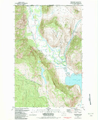
1981 · Nighthawk
USGS Topo · 1:24,000
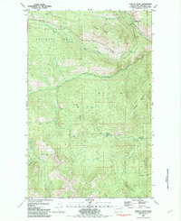
1981 · Duncan Ridge
USGS Topo · 1:24,000