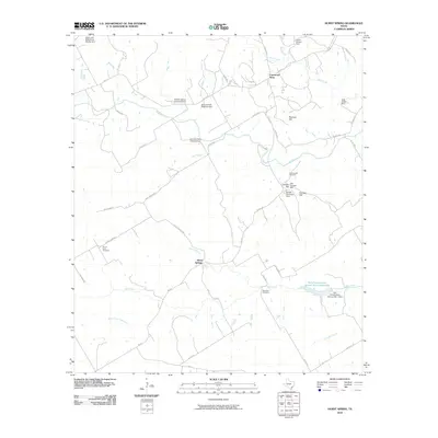
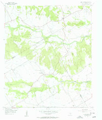
2010 Map of Hurst Spring
USGS Topo · Published 2010About this map
Old Norway Mill and the nearby Norway Mill Cemetery anchor a landscape defined by generational family farmsteads in this rural Bosque County community. The settlement pattern reflects the enduring legacy of early settlers, with sites such as the Tobias and Wilhelmine Schultz Farm, Jens and Kari Ringness Farm, and Hoff-Ulland Farm clearly identified. These named homesteads provide a rare level of genealogical detail, tracing the residence of families like the Grimlands, Colwicks, and Omensons across the countryside north of Hurst Springs.
Find a feature on this map
46 named features on this map. Tap any name to fly to it.
Don’t see what you’re looking for? This feature index may not catch every label — zoom into the map to look around manually.
Map Details
Editions of this 2010 Hurst Spring Map
This is the sole edition of this map. No revisions or reprints were ever made.
Other maps of this area

1888 · Meridian
USGS Topo · 1:125,000

1894 · Meridian
USGS Topo · 1:125,000

1954 · Waco
USGS Topo · 1:250,000

1955 · Waco
USGS Topo · 1:250,000

1955 · Clifton
USGS Topo · 1:24,000
1955 · Turnersville
USGS Topo · 1:24,000
1955 · Ater
USGS Topo · 1:24,000
1955 · Coryell
USGS Topo · 1:24,000
1956 · Hurst Spring
USGS Topo · 1:24,000

1956 · Cranfills Gap
USGS Topo · 1:24,000