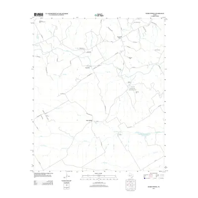
2012 Map of Hurst Spring
USGS Topo · Published 2012About this map
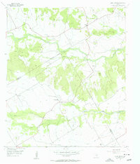
The agrarian landscape of Bosque County is defined by a dense network of family heritage sites, where numerous original homesteads are specifically identified by name. Significant Norwegian-American settlement roots are evident in the presence of the Jens and Kari Ringness Farm and the Keddel and Liv Grimland Farm. These individual holdings are centered around local gathering points such as the Crossroad Store and several commemorative sites, including the Norway Mill Cem and Post Oak Cem.
Find a feature on this map
62 named features on this map. Tap any name to fly to it.
Don’t see what you’re looking for? This feature index may not catch every label — zoom into the map to look around manually.
Map Details
Editions of this 2012 Hurst Spring Map
This is the sole edition of this map. No revisions or reprints were ever made.
Other maps of this area

1888 · Meridian
USGS Topo · 1:125,000

1894 · Meridian
USGS Topo · 1:125,000

1954 · Waco
USGS Topo · 1:250,000

1955 · Waco
USGS Topo · 1:250,000

1955 · Clifton
USGS Topo · 1:24,000
1955 · Turnersville
USGS Topo · 1:24,000
1955 · Ater
USGS Topo · 1:24,000
1955 · Coryell
USGS Topo · 1:24,000
1956 · Hurst Spring
USGS Topo · 1:24,000

1956 · Cranfills Gap
USGS Topo · 1:24,000