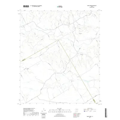
2019 Map of Hurst Spring
USGS Topo · Published 2019About this map
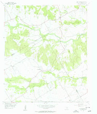
Hurst Spring and the surrounding drainage basins of the Bosque-Coryell county line define this section of the Grand Prairie. The landscape is marked by prominent elevations such as Norman Hill and Norway Hill, which rise above a network of watercourses including Neils Creek, Hog Creek, and Jack Br. These features reflect the region's early settlement patterns, where ranching and farming took root along the fertile creek bottoms. The presence of rural burial grounds like Norway Mill Cem, Prairie View Cem, and Post Oak Cem provides valuable points of interest for genealogists tracing local families in this part of Central Texas. A web of secondary roads like Hurst Springs Rd and Jack Branch Rd connects these scattered landmarks, tracing the historic movement between upland pastures and spring-fed valleys.
Find a feature on this map
50 named features on this map. Tap any name to fly to it.
Don’t see what you’re looking for? This feature index may not catch every label — zoom into the map to look around manually.
Map Details
Editions of this 2019 Hurst Spring Map
This is the sole edition of this map. No revisions or reprints were ever made.
Other maps of this area

1888 · Meridian
USGS Topo · 1:125,000

1894 · Meridian
USGS Topo · 1:125,000

1954 · Waco
USGS Topo · 1:250,000

1955 · Waco
USGS Topo · 1:250,000

1955 · Clifton
USGS Topo · 1:24,000
1955 · Turnersville
USGS Topo · 1:24,000
1955 · Ater
USGS Topo · 1:24,000
1955 · Coryell
USGS Topo · 1:24,000
1956 · Hurst Spring
USGS Topo · 1:24,000

1956 · Cranfills Gap
USGS Topo · 1:24,000