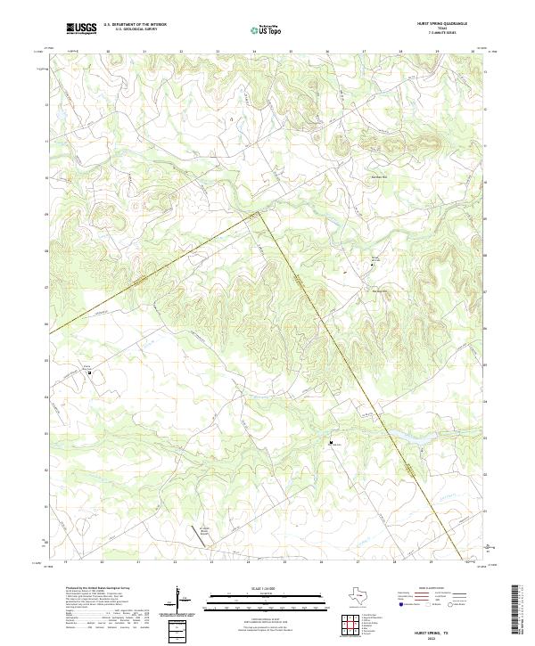
2022 Map of Hurst Spring
USGS Topo · Published 2022About this map
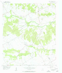
Hurst Spring anchors a landscape of rolling cattle country and winding draws along the border of Bosque and Coryell counties. The terrain is defined by the headwaters of Hog Creek and the long valley of Neils Creek, where agricultural life is centered around family-named landmarks and high ground such as Norman Hill and Norway Hill.
Find a feature on this map
50 named features on this map. Tap any name to fly to it.
Don’t see what you’re looking for? This feature index may not catch every label — zoom into the map to look around manually.
Map Details
Editions of this 2022 Hurst Spring Map
This is the sole edition of this map. No revisions or reprints were ever made.
Other maps of this area

1888 · Meridian
USGS Topo · 1:125,000

1894 · Meridian
USGS Topo · 1:125,000

1954 · Waco
USGS Topo · 1:250,000

1955 · Waco
USGS Topo · 1:250,000

1955 · Clifton
USGS Topo · 1:24,000
1955 · Turnersville
USGS Topo · 1:24,000
1955 · Ater
USGS Topo · 1:24,000
1955 · Coryell
USGS Topo · 1:24,000
1956 · Hurst Spring
USGS Topo · 1:24,000

1956 · Cranfills Gap
USGS Topo · 1:24,000