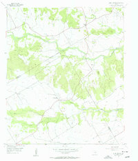
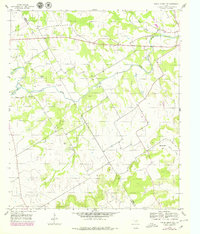
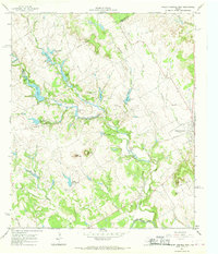
1956 Map of Hurst Spring
USGS Topo · Published 1956This historical map portrays the area of Hurst Spring in 1956, primarily covering Bosque County as well as portions of Coryell County. Featuring a scale of 1:24000, this map provides a highly detailed snapshot of the terrain, roads, buildings, counties, and historical landmarks in the Hurst Spring region at the time. Published in 1956, it is one of 2 known editions of this map due to revisions or reprints.
Map Details
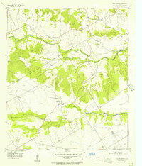
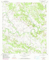
Editions of this 1956 Hurst Spring Map
2 editions found
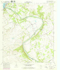
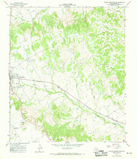
Historical Maps of Coryell County Through Time
9 maps found
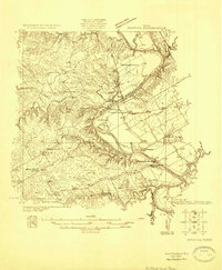
1924 Waco 2-b
Bosque County, TX
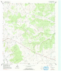
1955 Pilot Knob
Bosque County, TX
1956 Hurst Spring
Bosque County, TX
1956 Spring Creek Gap
Bosque County, TX
1956 Sugarloaf Mountain
Bosque County, TX
1966 Smiths Bend
Bosque County, TX
1966 Walnut Springs East
Bosque County, TX
1966 Walnut Springs West
Bosque County, TX
1968 Allen Bend
Bosque County, TX