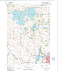
1982 Map of Hutchinson West
USGS Topo · Published 1982About this map
The western edge of Hutchinson is the focal point of this 1982 survey, where the town's residential streets meet the meandering Fork Crow River and Otter Lake. The landscape transition from municipal development to the glaciated lake country of Acoma and Ellsworth townships is marked by numerous water bodies, including the sprawling Cedar Lake and Belle Lake. The map reveals a community deeply connected to its lakes, featuring several public landings and recreational areas such as Piepenberg County Park.
Find a feature on this map
50 named features on this map. Tap any name to fly to it.
Don’t see what you’re looking for? This feature index may not catch every label — zoom into the map to look around manually.
Map Details
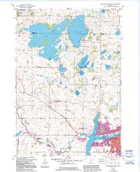
Editions of this 1982 Hutchinson West Map
2 editions found
Other maps of this area

1953 · New Ulm
USGS Topo · 1:250,000

1953 · Saint Cloud
USGS Topo · 1:250,000

1957 · Saint Cloud
USGS Topo · 1:250,000

1957 · New Ulm
USGS Topo · 1:250,000

1958 · New Ulm
USGS Topo · 1:250,000

1958 · Saint Cloud
USGS Topo · 1:250,000

1958 · Dassel
USGS Topo · 1:62,500

1958 · Hutchinson
USGS Topo · 1:62,500

1967 · New Ulm
USGS Topo · 1:250,000

1967 · Litchfield South
USGS Topo · 1:24,000