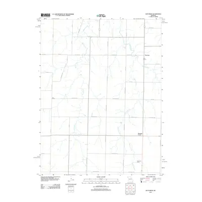
2012 Map of Hutchison
USGS Topo · Published 2012About this map
The agricultural landscape of northeast Missouri is defined by the branching tributaries of the Lick Creek system, which dominate the topography in this 2012 survey. West Lick Creek, Middle Lick Creek, and East Lick Creek carve north-trending drainage paths across a grid of rural routes and state highways. Small settlements like Hutchison and Bassinger Corner anchor the local road network, reflecting the long-standing community centers of the region.
Find a feature on this map
38 named features on this map. Tap any name to fly to it.
Don’t see what you’re looking for? This feature index may not catch every label — zoom into the map to look around manually.
Map Details
Editions of this 2012 Hutchison Map
This is the sole edition of this map. No revisions or reprints were ever made.
Other maps of this area

1890 · Mexico
USGS Topo · 1:125,000

1932 · Mexico
USGS Topo · 1:62,500

1942 · Wellsville
USGS Topo · 1:62,500

1945 · Florida
USGS Topo · 1:62,500

1945 · Perry
USGS Topo · 1:62,500

1948 · Quincy
USGS Topo · 1:250,000

1956 · Quincy
USGS Topo · 1:250,000
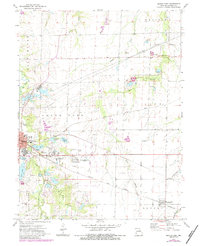
1972 · Mexico East
USGS Topo · 1:24,000
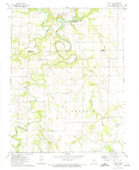
1972 · Santa Fe
USGS Topo · 1:24,000
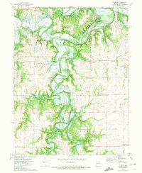
1972 · Florida
USGS Topo · 1:24,000