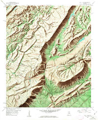
1958 Map of Hyatt Gap
USGS Topo · Published 1963About this map
Blount Mountain and Straight Mountain dominate this part of Alabama, where the convergence of St. Clair, Etowah, and Blount counties creates a complex landscape of ridges and valleys. The Locust Fork Black Warrior River winds through the northwest, while the Southern and L & N railroads anchor the local transportation network. This 1950s survey captures a transition in land use, showing active strip mines on Little Red Mountain and a quarry near Awtreys Gap alongside established religious and educational centers.
Find a feature on this map
63 named features on this map. Tap any name to fly to it.
Don’t see what you’re looking for? This feature index may not catch every label — zoom into the map to look around manually.
Map Details
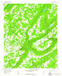
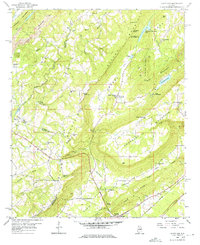
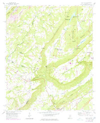
Editions of this 1958 Hyatt Gap Map
4 editions found
Other maps of this area

1885 · Gadsden
USGS Topo · 1:125,000

1888 · Gadsden
USGS Topo · 1:125,000

1889 · Springville
USGS Topo · 1:125,000

1892 · Springville
USGS Topo · 1:125,000

1892 · Gadsden
USGS Topo · 1:125,000

1895 · Gadsden
USGS Topo · 1:125,000

1903 · Gadsden
USGS Topo · 1:125,000

1947 · Cox Gap
USGS Topo · 1:24,000

1947 · Steele
USGS Topo · 1:24,000

1947 · Steele
USGS Topo · 1:62,500