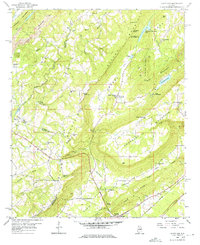
1958 Map of Hyatt Gap
USGS Topo · Published 1976About this map
Straight Mountain and Blount Mountain dominate the terrain of this north Alabama survey, defining a landscape where narrow valleys dictated the path of early transport and settlement. The Locust Fork Black Warrior River carves through the northwestern corner, while the Little Canoe Creek drainage follows the base of Red Mountain. Small rural communities are anchored by numerous country churches, including Daileys Chapel and Smith Chapel, and many take their names from the gaps in the ridges, such as Hyatt Gap and Hathcock Gap.
Find a feature on this map
65 named features on this map. Tap any name to fly to it.
Don’t see what you’re looking for? This feature index may not catch every label — zoom into the map to look around manually.
Map Details
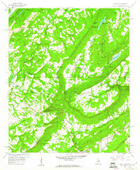
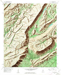
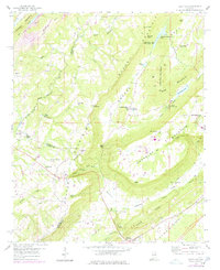
Editions of this 1958 Hyatt Gap Map
4 editions found
Other maps of this area

1885 · Gadsden
USGS Topo · 1:125,000

1888 · Gadsden
USGS Topo · 1:125,000

1889 · Springville
USGS Topo · 1:125,000

1892 · Springville
USGS Topo · 1:125,000

1892 · Gadsden
USGS Topo · 1:125,000

1895 · Gadsden
USGS Topo · 1:125,000

1903 · Gadsden
USGS Topo · 1:125,000

1947 · Cox Gap
USGS Topo · 1:24,000

1947 · Steele
USGS Topo · 1:24,000

1947 · Steele
USGS Topo · 1:62,500