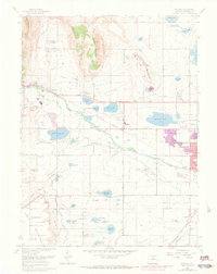
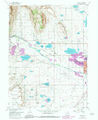
1968 Map of Hygiene
USGS Topo · Published 1973About this map
The agricultural and technical landscape of western Boulder County unfolds around the settlement of Hygiene. During this era of the late 1960s and early 1970s, the western edge of Longmont was beginning to expand toward the foothills, though the area remained defined by an intricate network of irrigation ditches and reservoirs. The historic Ryssby Ch stands near the southern foothills, a landmark for local genealogy and history researchers.
Find a feature on this map
48 named features on this map. Tap any name to fly to it.
Don’t see what you’re looking for? This feature index may not catch every label — zoom into the map to look around manually.
Map Details
Editions of this 1968 Hygiene Map
5 editions found
Other maps of this area

1902 · Boulder
USGS Topo · 1:62,500

1904 · Niwot
USGS Topo · 1:62,500

1904 · Boulder
USGS Topo · 1:62,500

1905 · Mount Olympus
USGS Topo · 1:62,500

1906 · Loveland
USGS Topo · 1:62,500

1907 · Mount Olympus
USGS Topo · 1:62,500

1908 · Loveland
USGS Topo · 1:62,500

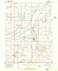
1950 · Hygiene
USGS Topo · 1:24,000
1950 · Erie
USGS Topo · 1:24,000

1950 · Niwot
USGS Topo · 1:24,000