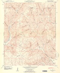
1951 Map of Hytop
USGS Topo · Published 1951About this map
Hytop sits atop the high plateau of northeastern Alabama, serving as a primary settlement point in this 1951 survey conducted by the Tennessee Valley Authority. The landscape is defined by the sharp transition between the Cumberland Plateau and deep incisions like Big Coon Valley and Devers Cove. This era shows a community deeply tied to the land and its family lineages, evidenced by a high density of small burial grounds such as Hytop Cem, Knight Cem, and Matthews Cem.
Find a feature on this map
67 named features on this map. Tap any name to fly to it.
Don’t see what you’re looking for? This feature index may not catch every label — zoom into the map to look around manually.
Map Details
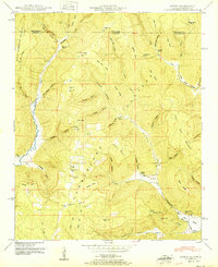
Editions of this 1951 Hytop Map
2 editions found
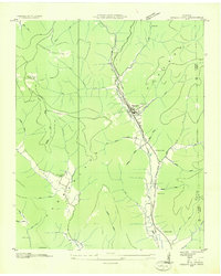
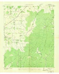
Other maps of this area

1886 · Stevenson
USGS Topo · 1:125,000

1888 · Scottsboro
USGS Topo · 1:125,000

1892 · Scottsboro
USGS Topo · 1:125,000

1892 · Stevenson
USGS Topo · 1:125,000

1895 · Stevenson
USGS Topo · 1:125,000

1895 · Sewanee
USGS Topo · 1:125,000

1928 · Decherd
USGS Topo · 1:62,500

1936 · Wannville
USGS Topo · 1:24,000
1936 · Sinking Cove
USGS Topo · 1:24,000
1936 · Beans Creek
USGS Topo · 1:24,000