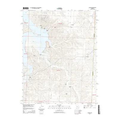
2014 Map of Iconium
USGS Topo · Published 2014About this map
Iconium and the surrounding Ozark foothills of St. Clair County are defined by the winding waters of the Harry S Truman Reservoir, which dominates the northwestern quadrant of this map. This modern survey illustrates how the inundation of the Osage River valley reshaped the local geography, creating distinctive landmarks like Horseshoe Bend and Cedar Point along the jagged shoreline. Further inland, the terrain is characterized by a series of deep hollows, including Collins Hollow and Garrison Hollow, that channel numerous tributaries toward the reservoir.
Find a feature on this map
49 named features on this map. Tap any name to fly to it.
Don’t see what you’re looking for? This feature index may not catch every label — zoom into the map to look around manually.
Map Details
Editions of this 2014 Iconium Map
This is the sole edition of this map. No revisions or reprints were ever made.
Other maps of this area

1884 · Bolivar
USGS Topo · 1:125,000

1886 · Stockton
USGS Topo · 1:125,000

1887 · Clinton
USGS Topo · 1:125,000

1887 · Warsaw
USGS Topo · 1:125,000

1892 · Bolivar
USGS Topo · 1:125,000

1894 · Warsaw
USGS Topo · 1:125,000

1894 · Clinton
USGS Topo · 1:125,000

1938 · Vista
USGS Topo · 1:24,000

1939 · Osceola
USGS Topo · 1:24,000

1940 · Osceola
USGS Topo · 1:24,000