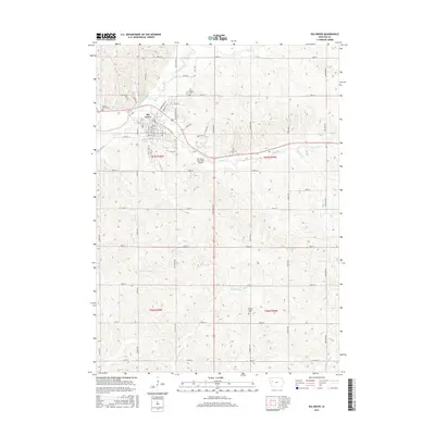
2015 Map of Ida Grove
USGS Topo · Published 2015About this map
Ida Grove serves as the focal point of this western Iowa landscape, situated at the confluence where Odebolt Cr joins the Maple River. The town's grid is bounded by a network of rural routes such as Jasper Ave and Landmark Ave, which connect the town to the surrounding agricultural sections. The local geography is deeply tied to its watercourses, with Badger Cr and Hoskins Cr carving paths through the rolling terrain toward the river valley.
Find a feature on this map
60 named features on this map. Tap any name to fly to it.
Don’t see what you’re looking for? This feature index may not catch every label — zoom into the map to look around manually.
Map Details
Editions of this 2015 Ida Grove Map
This is the sole edition of this map. No revisions or reprints were ever made.
Other maps of this area

1954 · Fort Dodge
USGS Topo · 1:250,000

1957 · Fort Dodge
USGS Topo · 1:250,000

1958 · Fort Dodge
USGS Topo · 1:250,000

1967 · Holstein
USGS Topo · 1:24,000

1967 · Ida Grove
USGS Topo · 1:24,000

1967 · Battle Creek
USGS Topo · 1:24,000

1967 · Ida Grove NW
USGS Topo · 1:24,000

1971 · Ricketts
USGS Topo · 1:24,000

1971 · Schleswig
USGS Topo · 1:24,000

1971 · Kiron
USGS Topo · 1:24,000