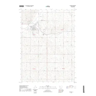
2018 Map of Ida Grove
USGS Topo · Published 2018About this map
Ida Grove serves as the focal point of this western Iowa landscape, situated at the confluence of the Maple River and Odebolt Cr. The town's grid is dense with residential streets such as Rohrer St and Washington St, while N Main St defines the central business corridor. The surrounding agricultural sections are defined by a network of drainage ways, including Hoskins Cr and Badger Cr, which carve through the loess hills of Ida County. This survey captures the rural layout of the region, emphasizing the importance of township and range boundaries like t87n r40w and t86n r39w. Historical interest is anchored by several burial grounds located on the periphery of the town, including Sacred Heart Cem, Ida Grove Cem, and the more remote Hayes Chapel Cem to the southeast. The Ida Grove Municipal Airport occupies the high ground between the river valleys, showing the modern transport infrastructure integrated into the traditional farm-to-market road system.
Find a feature on this map
64 named features on this map. Tap any name to fly to it.
Don’t see what you’re looking for? This feature index may not catch every label — zoom into the map to look around manually.
Map Details
Editions of this 2018 Ida Grove Map
This is the sole edition of this map. No revisions or reprints were ever made.
Other maps of this area

1954 · Fort Dodge
USGS Topo · 1:250,000

1957 · Fort Dodge
USGS Topo · 1:250,000

1958 · Fort Dodge
USGS Topo · 1:250,000

1967 · Holstein
USGS Topo · 1:24,000

1967 · Ida Grove
USGS Topo · 1:24,000

1967 · Battle Creek
USGS Topo · 1:24,000

1967 · Ida Grove NW
USGS Topo · 1:24,000

1971 · Ricketts
USGS Topo · 1:24,000

1971 · Schleswig
USGS Topo · 1:24,000

1971 · Kiron
USGS Topo · 1:24,000