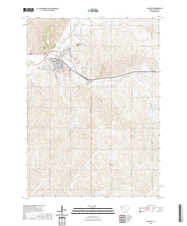
2022 Map of Ida Grove
USGS Topo · Published 2022About this map
The Ida County Courthouse serves as the civic anchor for Ida Grove, a community defined by the confluence of the Maple River and Odebolt Cr. The town's grid is bounded by high bluffs, with several early burial grounds established on the perimeter, including Moorehead Cem and Sacred Heart Cem to the northwest, and Ida Grove Cem to the north. These sites, along with Hayes Chapel Cem further southeast, offer significant touchstones for local genealogical research.
Find a feature on this map
37 named features on this map. Tap any name to fly to it.
Don’t see what you’re looking for? This feature index may not catch every label — zoom into the map to look around manually.
Map Details
Editions of this 2022 Ida Grove Map
This is the sole edition of this map. No revisions or reprints were ever made.
Other maps of this area

1954 · Fort Dodge
USGS Topo · 1:250,000

1957 · Fort Dodge
USGS Topo · 1:250,000

1958 · Fort Dodge
USGS Topo · 1:250,000

1967 · Holstein
USGS Topo · 1:24,000

1967 · Ida Grove
USGS Topo · 1:24,000

1967 · Battle Creek
USGS Topo · 1:24,000

1967 · Ida Grove NW
USGS Topo · 1:24,000

1971 · Ricketts
USGS Topo · 1:24,000

1971 · Schleswig
USGS Topo · 1:24,000

1971 · Kiron
USGS Topo · 1:24,000