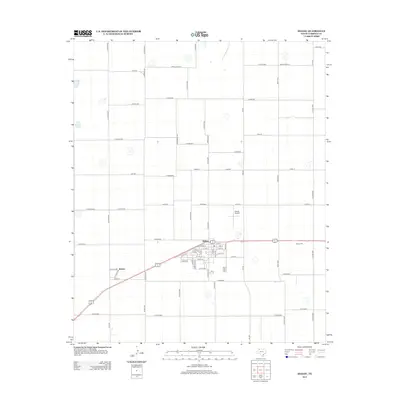
2012 Map of Idalou
USGS Topo · Published 2012About this map
Idalou serves as the central hub of this agricultural landscape in Lubbock County, showing a well-defined street grid and residential development. The town's layout is grounded by the presence of Walnut St and Everitt Airport situated just to the north. A network of rural farm-to-market roads, including FM-400 and FM-1294, underscores the region's reliance on efficient transportation for its farming economy. To the east, the Idalou Cem provides a focal point for genealogical interest and local heritage.
Find a feature on this map
70 named features on this map. Tap any name to fly to it.
Don’t see what you’re looking for? This feature index may not catch every label — zoom into the map to look around manually.
Map Details
Editions of this 2012 Idalou Map
This is the sole edition of this map. No revisions or reprints were ever made.
Other maps of this area

1954 · Lubbock
USGS Topo · 1:250,000
1956 · New Deal
USGS Topo · 1:24,000
1957 · Lubbock East
USGS Topo · 1:24,000
1957 · Lubbock
USGS Topo · 1:62,500
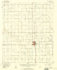
1957 · Abernathy
USGS Topo · 1:62,500
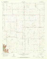
1965 · Acuff
USGS Topo · 1:24,000
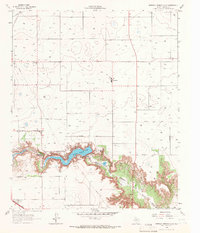
1965 · Buffalo Springs Lake
USGS Topo · 1:24,000
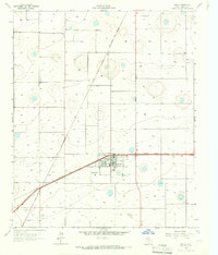
1965 · Idalou
USGS Topo · 1:24,000
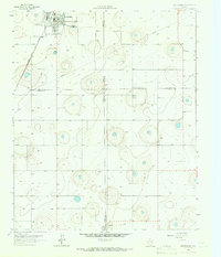
1965 · Petersburg
USGS Topo · 1:24,000
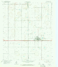
1965 · Lorenzo
USGS Topo · 1:24,000