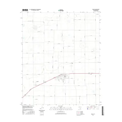
2016 Map of Idalou
USGS Topo · Published 2016About this map
Idalou serves as the primary population center in this part of the Texas South Plains, appearing as a organized grid of streets bisected by the diagonal corridor of Idalou Rd. The landscape surrounding the town is defined by a dense network of agricultural section roads, such as Co Rd 5600 and Co Rd 6300, which partition the high, flat terrain. To the southwest, the smaller settlement area of Kitalou sits along the roadway, while the Idalou Cem and the Everitt Airport mark the community's outskirts. The map's detail provides a clear look at the local infrastructure during this period, including specific residential street names like Stonehill St and E Bluefield St, reflecting the suburban expansion of the region beyond its rural roots.
Find a feature on this map
71 named features on this map. Tap any name to fly to it.
Don’t see what you’re looking for? This feature index may not catch every label — zoom into the map to look around manually.
Map Details
Editions of this 2016 Idalou Map
This is the sole edition of this map. No revisions or reprints were ever made.
Other maps of this area

1954 · Lubbock
USGS Topo · 1:250,000
1956 · New Deal
USGS Topo · 1:24,000
1957 · Lubbock East
USGS Topo · 1:24,000
1957 · Lubbock
USGS Topo · 1:62,500
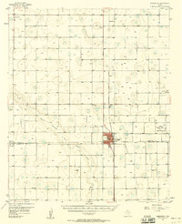
1957 · Abernathy
USGS Topo · 1:62,500
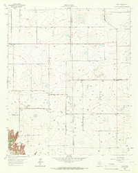
1965 · Acuff
USGS Topo · 1:24,000
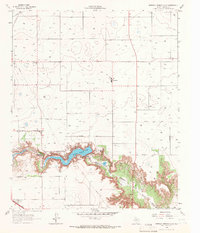
1965 · Buffalo Springs Lake
USGS Topo · 1:24,000
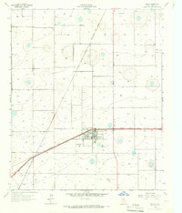
1965 · Idalou
USGS Topo · 1:24,000
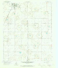
1965 · Petersburg
USGS Topo · 1:24,000
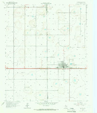
1965 · Lorenzo
USGS Topo · 1:24,000