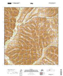
2019 Map of Iditarod A-2 NW
USGS Topo · Published 2019About this map
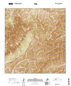
The East Fork George River flows through the western portion of this terrain in the Yukon-Koyukuk Census Area, marking a landscape defined by its intricate drainage systems and shifting elevations. The hydrography of the region is further characterized by the winding path of Moose Cr and the presence of the Little S Fork in the southwestern reaches. This survey highlights the undeveloped character of the Alaskan interior, showing a vast network of wetlands and seasonal watercourses that dictate the movement of water across the various townships and ranges. The map provides a precise record of these natural boundaries before any significant modern infrastructure or permanent settlements altered the environment, preserving the indigenous hydrological names as they were documented by the U.S. Department of the Interior.
Find a feature on this map
8 named features on this map. Tap any name to fly to it.
Don’t see what you’re looking for? This feature index may not catch every label — zoom into the map to look around manually.
Map Details
Editions of this 2019 Iditarod A-2 NW Map
This is the sole edition of this map. No revisions or reprints were ever made.
Other maps of this area

1951 · Iditarod
USGS Topo · 1:250,000

1954 · Iditarod B-2
USGS Topo · 1:63,360

1954 · Iditarod A-3
USGS Topo · 1:63,360

1954 · Iditarod A-2
USGS Topo · 1:63,360

1954 · Iditarod B-3
USGS Topo · 1:63,360

1956 · Iditarod
USGS Topo · 1:250,000
2019 · Iditarod B-3 SE
USGS Topo · 1:25,000
2019 · Iditarod A-3 NE
USGS Topo · 1:25,000
2019 · Iditarod A-3 SE
USGS Topo · 1:25,000
2019 · Iditarod B-2 SE
USGS Topo · 1:25,000