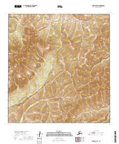
2019 Map of Iditarod B-2 SE
USGS Topo · Published 2019About this map
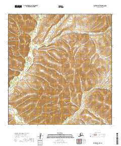
Granite Mtn rises as the dominant landmark in this interior Alaskan landscape, which is defined by the headwaters of several drainage systems. This 2019 survey captures the hydrological divide where the north-flowing Big Waldren Fork and the westward-trending Moose Cr originate. The topography is meticulously mapped using 20-foot contour intervals, illustrating a network of ridges and drainages that have remained largely unsettled. This isolation is reflected in the land management records, which show the area organized by the Public Land Survey System into townships like t26n r40w and t26n r39w. The absence of roads or permanent structures indicates a wilderness area primarily utilized for resource navigation or seasonal transit.
Find a feature on this map
7 named features on this map. Tap any name to fly to it.
Don’t see what you’re looking for? This feature index may not catch every label — zoom into the map to look around manually.
Map Details
Editions of this 2019 Iditarod B-2 SE Map
This is the sole edition of this map. No revisions or reprints were ever made.
Other maps of this area

1951 · Iditarod
USGS Topo · 1:250,000

1954 · Iditarod B-1
USGS Topo · 1:63,360

1954 · Iditarod A-1
USGS Topo · 1:63,360

1954 · Iditarod B-2
USGS Topo · 1:63,360

1954 · Iditarod A-2
USGS Topo · 1:63,360

1956 · Iditarod
USGS Topo · 1:250,000
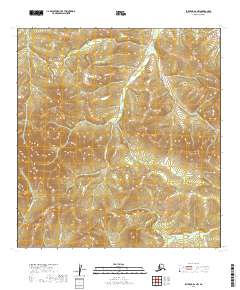
2019 · Iditarod B-2 NW
USGS Topo · 1:25,000
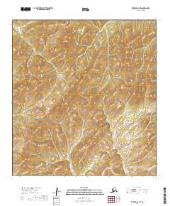
2019 · Iditarod B-1 NW
USGS Topo · 1:25,000
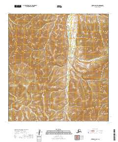
2019 · Iditarod B-2 NE
USGS Topo · 1:25,000
2019 · Iditarod A-2 NW
USGS Topo · 1:25,000