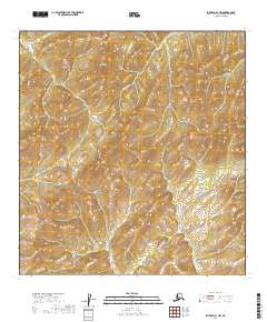
2019 Map of Iditarod B-1 NW
USGS Topo · Published 2019About this map
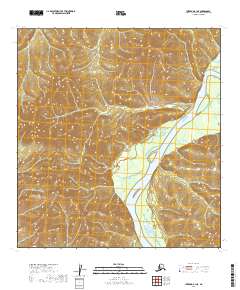
Kuskokwim Mountains terrain dominates this portion of the interior, where the high point at Black Mtn rises above the surrounding drainage basins. The landscape is defined by its dramatic relief and the headwaters of the Black River, which cuts through the northern sections of the survey area. This 2019 data represents a contemporary look at a remote wilderness area within the Yukon-Koyukuk Census Area, showing the natural state of the land before any modern infrastructure or settlement took hold in this particular quadrangle. Geologists and topographical enthusiasts can trace the complex contour patterns that define the ridges and valleys of the Kuskokwim range.
Find a feature on this map
9 named features on this map. Tap any name to fly to it.
Don’t see what you’re looking for? This feature index may not catch every label — zoom into the map to look around manually.
Map Details
Editions of this 2019 Iditarod B-1 NW Map
This is the sole edition of this map. No revisions or reprints were ever made.
Other maps of this area

1951 · Iditarod
USGS Topo · 1:250,000

1954 · Iditarod B-1
USGS Topo · 1:63,360

1954 · Iditarod B-2
USGS Topo · 1:63,360

1954 · Iditarod C-2
USGS Topo · 1:63,360
1956 · Iditarod C-1
USGS Topo · 1:63,360

1956 · Iditarod
USGS Topo · 1:250,000
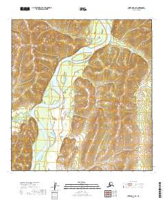
2019 · Iditarod B-1 SE
USGS Topo · 1:25,000
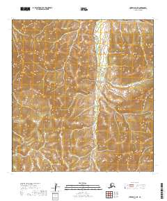
2019 · Iditarod B-2 NE
USGS Topo · 1:25,000
2019 · Iditarod B-1 NE
USGS Topo · 1:25,000
2019 · Iditarod C-1 SW
USGS Topo · 1:25,000