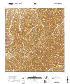
2019 Map of Iditarod C-1 SW
USGS Topo · Published 2019About this map
The Kuskokwim Mountains dominate this interior landscape, where the terrain rises toward the prominent summit of Black Mtn. This 2019 survey documents a largely roadless wilderness in the Yukon-Koyukuk region, defined by complex contour patterns and high-elevation drainages. Waterways such as Big Cr and the Black River carve through the deep valleys of the central and southern sections, representing the primary geographic orientation points in this part of the Alaska interior. The absence of modern infrastructure or permanent settlements underscores the remote character of the land, which remains partitioned by the Public Land Survey System lines of t29n r38w and t28n r38w.
Find a feature on this map
9 named features on this map. Tap any name to fly to it.
Don’t see what you’re looking for? This feature index may not catch every label — zoom into the map to look around manually.
Map Details
Editions of this 2019 Iditarod C-1 SW Map
This is the sole edition of this map. No revisions or reprints were ever made.
Other maps of this area

1951 · Iditarod
USGS Topo · 1:250,000

1954 · Iditarod B-1
USGS Topo · 1:63,360

1954 · Iditarod B-2
USGS Topo · 1:63,360

1954 · Iditarod C-2
USGS Topo · 1:63,360
1956 · Iditarod C-1
USGS Topo · 1:63,360

1956 · Iditarod
USGS Topo · 1:250,000
2019 · Iditarod C-2 NE
USGS Topo · 1:25,000
2019 · Iditarod B-1 NW
USGS Topo · 1:25,000
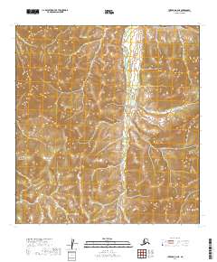
2019 · Iditarod B-2 NE
USGS Topo · 1:25,000
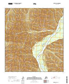
2019 · Iditarod B-1 NE
USGS Topo · 1:25,000