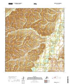
2019 Map of Iditarod C-2 NE
USGS Topo · Published 2019About this map
The Takotna River meanders through this interior Alaska landscape, defining the drainage patterns for a series of tributary creeks in the Yukon-Koyukuk region. The terrain is characterized by the complex hydrology of Minnie Cr, Bonnie Cr, and Big Cr, which carve through the high-elevation contours of the Kuskokwim Mountains. This 2019 survey documents the intricate water network within the Iditarod area, including the upper reaches of Fourth of July Cr and the Big Walaren Fork near the southern boundary. The absence of roads or established settlements on this sheet highlights the remote and wild character of the central Alaskan interior, where the landscape is shaped almost entirely by natural watercourses and significant topographic relief.
Find a feature on this map
12 named features on this map. Tap any name to fly to it.
Don’t see what you’re looking for? This feature index may not catch every label — zoom into the map to look around manually.
Map Details
Editions of this 2019 Iditarod C-2 NE Map
This is the sole edition of this map. No revisions or reprints were ever made.
Other maps of this area

1951 · Iditarod
USGS Topo · 1:250,000

1954 · Iditarod C-2
USGS Topo · 1:63,360

1954 · Iditarod D-2
USGS Topo · 1:63,360
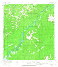
1954 · Iditarod D-1
USGS Topo · 1:63,360
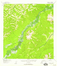
1955 · Iditarod D-1
USGS Topo · 1:63,360
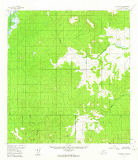
1956 · Iditarod C-1
USGS Topo · 1:63,360

1956 · Iditarod
USGS Topo · 1:250,000
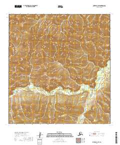
2019 · Iditarod C-2 SW
USGS Topo · 1:25,000
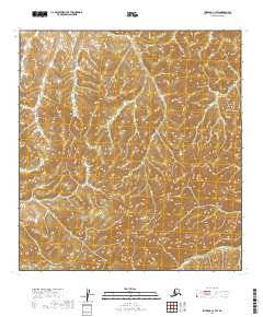
2019 · Iditarod C-1 SW
USGS Topo · 1:25,000
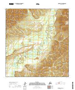
2019 · Iditarod D-1 SW
USGS Topo · 1:25,000