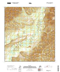
2019 Map of Iditarod D-1 SW
USGS Topo · Published 2019About this map
The Takotna River meanders through this portion of the Yukon-Koyukuk Census Area, defining a landscape of complex riparian bends and extensive wetlands. This 2019 survey captures the river's intricate oxbows and side channels as they transition through a broad valley floor between elevated terrain to the east and west. Tributaries like Fourth of July Cr and Big Cr feed into the primary drainage system, illustrating the natural hydrological patterns of the Alaska interior. The absence of roads or established settlements emphasizes the remote, wilderness character of this region, where the terrain is primarily shaped by water movement and seasonal shifts across the river basin.
Find a feature on this map
9 named features on this map. Tap any name to fly to it.
Don’t see what you’re looking for? This feature index may not catch every label — zoom into the map to look around manually.
Map Details
Editions of this 2019 Iditarod D-1 SW Map
This is the sole edition of this map. No revisions or reprints were ever made.
Other maps of this area

1951 · Iditarod
USGS Topo · 1:250,000

1954 · Iditarod C-2
USGS Topo · 1:63,360

1954 · Iditarod D-2
USGS Topo · 1:63,360
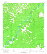
1954 · Iditarod D-1
USGS Topo · 1:63,360
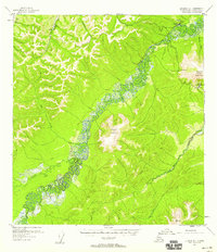
1955 · Iditarod D-1
USGS Topo · 1:63,360
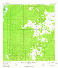
1956 · Iditarod C-1
USGS Topo · 1:63,360

1956 · Iditarod
USGS Topo · 1:250,000
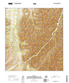
2019 · Iditarod D-2 NE
USGS Topo · 1:25,000
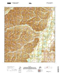
2019 · Iditarod C-2 NE
USGS Topo · 1:25,000
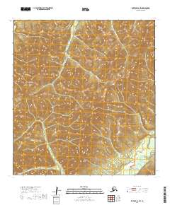
2019 · Iditarod D-1 NW
USGS Topo · 1:25,000