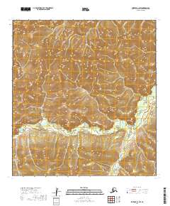
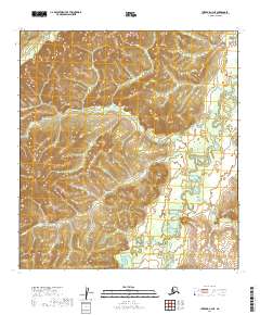
2019 Map of Iditarod C-2 SW
USGS Topo · Published 2019About this map
Sugarloaf Mtn and Wolf Mtn dominate the central topography of this Interior Alaska landscape, rising significantly above the surrounding drainages of the Kuskokwim Mountains. The map reveals a complex network of headwater streams that define the local terrain, with Moore Creek winding westward while the Takotna River cuts through the eastern edge of the quadrangle. The lack of structures or established roads in this 2019 survey emphasizes the isolation of the Yukon-Koyukuk Census Area, where travel is dictated by natural corridors like the Little Waldren Fork. These drainages serve as the primary landmarks for navigating the high-relief summits and deep valleys of the t29n r41w and t28n r41w townships. The map is a precise record of the hydrological divide between various branches of the Kuskokwim River system, showing the fine-grained elevation shifts of Bonnie Cr and Minnie Cr in the north.
Find a feature on this map
14 named features on this map. Tap any name to fly to it.
Don’t see what you’re looking for? This feature index may not catch every label — zoom into the map to look around manually.
Map Details
Editions of this 2019 Iditarod C-2 SW Map
This is the sole edition of this map. No revisions or reprints were ever made.
Other maps of this area

1951 · Iditarod
USGS Topo · 1:250,000

1954 · Iditarod B-2
USGS Topo · 1:63,360

1954 · Iditarod C-3
USGS Topo · 1:63,360

1954 · Iditarod B-3
USGS Topo · 1:63,360

1954 · Iditarod C-2
USGS Topo · 1:63,360

1956 · Iditarod
USGS Topo · 1:250,000
2019 · Iditarod C-3 SE
USGS Topo · 1:25,000
2019 · Iditarod B-3 NE
USGS Topo · 1:25,000
2019 · Iditarod C-3 NE
USGS Topo · 1:25,000
2019 · Iditarod C-2 NE
USGS Topo · 1:25,000