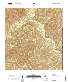
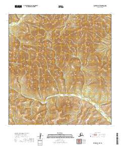
2019 Map of Iditarod C-3 SE
USGS Topo · Published 2019About this map
The Moore Creek settlement and its corresponding Moore Creek Airport serve as the primary human footprint in this interior Alaskan landscape. Located within the Kuskokwim Mountains, the terrain is defined by a dense network of watercourses, including the south-flowing George River and the headwaters of Willow Cr and Little Willow Cr. The map reveals a land structured by drainage basins, where the small airstrip at Moore Creek provides the essential connection to the outside world.
Find a feature on this map
16 named features on this map. Tap any name to fly to it.
Don’t see what you’re looking for? This feature index may not catch every label — zoom into the map to look around manually.
Map Details
Editions of this 2019 Iditarod C-3 SE Map
This is the sole edition of this map. No revisions or reprints were ever made.
Other maps of this area

1951 · Iditarod
USGS Topo · 1:250,000

1954 · Iditarod B-2
USGS Topo · 1:63,360

1954 · Iditarod C-3
USGS Topo · 1:63,360

1954 · Iditarod B-3
USGS Topo · 1:63,360

1954 · Iditarod C-2
USGS Topo · 1:63,360

1956 · Iditarod
USGS Topo · 1:250,000
2019 · Iditarod C-3 NW
USGS Topo · 1:25,000
2019 · Iditarod B-3 NE
USGS Topo · 1:25,000
2019 · Iditarod C-3 NE
USGS Topo · 1:25,000
2019 · Iditarod B-3 NW
USGS Topo · 1:25,000