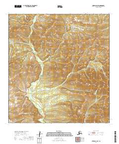
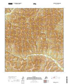
2019 Map of Iditarod B-3 NE
USGS Topo · Published 2019About this map
Kuskokwim Mountains terrain dominates this remote interior landscape, where the drainage patterns of the George River basin define the movement of water across the territory. This 2019 survey captures a rugged and unsettled portion of the Yukon-Koyukuk Census Area, mapped in detail through several townships including t27n r43w and t28n r42w. The land is characterized by steep elevation changes and a dense network of high-altitude streams such as Eldorado Cr, Bismarck Cr, and Beaver Cr. The absence of established roads or structures highlights the wilderness character of this region, providing a clear view of the natural topography as it remains today. For those studying the hydrology of the Alaska interior or the specific ridgelines of the Kuskokwim range, the map provides a precise record of the physical geography before any significant human development.
Find a feature on this map
11 named features on this map. Tap any name to fly to it.
Don’t see what you’re looking for? This feature index may not catch every label — zoom into the map to look around manually.
Map Details
Editions of this 2019 Iditarod B-3 NE Map
This is the sole edition of this map. No revisions or reprints were ever made.
Other maps of this area

1951 · Iditarod
USGS Topo · 1:250,000

1954 · Iditarod B-2
USGS Topo · 1:63,360

1954 · Iditarod C-3
USGS Topo · 1:63,360

1954 · Iditarod B-3
USGS Topo · 1:63,360

1954 · Iditarod C-2
USGS Topo · 1:63,360

1956 · Iditarod
USGS Topo · 1:250,000
2019 · Iditarod B-3 SE
USGS Topo · 1:25,000
2019 · Iditarod C-3 SE
USGS Topo · 1:25,000
2019 · Iditarod B-3 SW
USGS Topo · 1:25,000
2019 · Iditarod B-3 NW
USGS Topo · 1:25,000