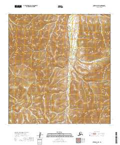
2019 Map of Iditarod B-2 NE
USGS Topo · Published 2019About this map
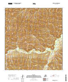
Kuskokwim Mountains terrain dominates this 2019 survey, where the landscape is defined by the complex drainage patterns of the Big Walden Fork and Little E Fork. This interior Alaskan territory remains largely undeveloped, with no mapped roads or settlements present on the sheet, instead showcasing the raw topography of the western Kuskokwim Mountains. The map provides an intricate view of the watershed within the Yukon-Koyukuk Census Area, illustrating how the meandering Big Walden Fork cuts through the high ground across several township and range boundaries. This specific quadrangle captures a portion of the vast, roadless wilderness where hydrology and elevation are the primary features for navigation and land study.
Find a feature on this map
9 named features on this map. Tap any name to fly to it.
Don’t see what you’re looking for? This feature index may not catch every label — zoom into the map to look around manually.
Map Details
Editions of this 2019 Iditarod B-2 NE Map
This is the sole edition of this map. No revisions or reprints were ever made.
Other maps of this area

1951 · Iditarod
USGS Topo · 1:250,000

1954 · Iditarod B-1
USGS Topo · 1:63,360

1954 · Iditarod B-2
USGS Topo · 1:63,360

1954 · Iditarod C-2
USGS Topo · 1:63,360
1956 · Iditarod C-1
USGS Topo · 1:63,360

1956 · Iditarod
USGS Topo · 1:250,000
2019 · Iditarod B-2 NW
USGS Topo · 1:25,000
2019 · Iditarod B-1 NW
USGS Topo · 1:25,000
2019 · Iditarod C-2 SW
USGS Topo · 1:25,000
2019 · Iditarod C-1 SW
USGS Topo · 1:25,000