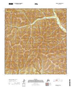
2019 Map of Iditarod A-4 SW
USGS Topo · Published 2019About this map
The Kuskokwim Mountains dominate this interior Alaska landscape, defining a region of dramatic topographic relief along the border of the Bethel Census Area and the Yukon-Koyukuk Census Area. The terrain is characterized by a series of high ridges and narrow drainage basins, notably the prominent Twin Buttes situated near the center of the survey. These landmarks provided essential navigational points for travelers and trappers moving through the remote territory between major river systems.
Find a feature on this map
15 named features on this map. Tap any name to fly to it.
Don’t see what you’re looking for? This feature index may not catch every label — zoom into the map to look around manually.
Map Details
Editions of this 2019 Iditarod A-4 SW Map
This is the sole edition of this map. No revisions or reprints were ever made.
Other maps of this area

1950 · Sleetmute
USGS Topo · 1:250,000

1951 · Iditarod
USGS Topo · 1:250,000

1954 · Sleetmute D-5
USGS Topo · 1:63,360

1954 · Sleetmute D-6
USGS Topo · 1:63,360

1954 · Iditarod A-5
USGS Topo · 1:63,360

1954 · Iditarod A-4
USGS Topo · 1:63,360

1954 · Sleetmute
USGS Topo · 1:250,000

1956 · Iditarod
USGS Topo · 1:250,000
2019 · Sleetmute D-5 NW
USGS Topo · 1:25,000
2019 · Iditarod A-4 SE
USGS Topo · 1:25,000