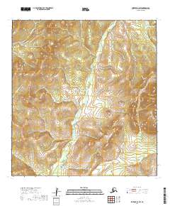
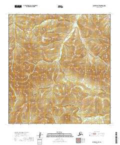
2019 Map of Iditarod B-2 SW
USGS Topo · Published 2019About this map
E Fork George River flows through the central terrain of this wilderness area within the Yukon-Koyukuk Census Area. This region, characterized by its network of drainages and seasonal watercourses, is defined by the headwaters and tributaries of several notable streams including Little Moose Cr and Munther Cr. The landscape is organized under the Public Land Survey System, as indicated by the presence of t26n r41w and surrounding township markers. The drainages of Granite Cr and Little E Fork suggest the complex hydrologic patterns that dominate this interior Alaskan environment. This topographic record emphasizes the raw physical geography of the area, providing a clear view of the elevation contours and stream networks that have shaped the region's accessibility and land use patterns over time.
Find a feature on this map
12 named features on this map. Tap any name to fly to it.
Don’t see what you’re looking for? This feature index may not catch every label — zoom into the map to look around manually.
Map Details
Editions of this 2019 Iditarod B-2 SW Map
This is the sole edition of this map. No revisions or reprints were ever made.
Other maps of this area

1951 · Iditarod
USGS Topo · 1:250,000

1954 · Iditarod B-2
USGS Topo · 1:63,360

1954 · Iditarod A-3
USGS Topo · 1:63,360

1954 · Iditarod A-2
USGS Topo · 1:63,360

1954 · Iditarod B-3
USGS Topo · 1:63,360

1956 · Iditarod
USGS Topo · 1:250,000
2019 · Iditarod B-3 SE
USGS Topo · 1:25,000
2019 · Iditarod B-3 NE
USGS Topo · 1:25,000
2019 · Iditarod A-3 NE
USGS Topo · 1:25,000
2019 · Iditarod B-2 NW
USGS Topo · 1:25,000