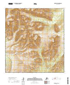
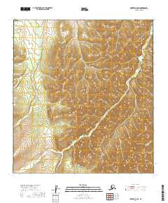
2019 Map of Iditarod D-2 SW
USGS Topo · Published 2019About this map
The Kuskokwim Mountains dominate this high-elevation Alaskan interior landscape, a region defined by complex drainage patterns and sharp topographic relief. This 2019 survey captures the headwaters of several remote waterways, including Ganes Cr and Last Chance Cr in the north, while Billy Goat Cr and Lincoln Cr cut through the southern terrain. This area has long been a focal point for geological interest, particularly with the prominent landmark of Crater Mtn rising above the surrounding peaks.
Find a feature on this map
10 named features on this map. Tap any name to fly to it.
Don’t see what you’re looking for? This feature index may not catch every label — zoom into the map to look around manually.
Map Details
Editions of this 2019 Iditarod D-2 SW Map
This is the sole edition of this map. No revisions or reprints were ever made.
Other maps of this area

1951 · Iditarod
USGS Topo · 1:250,000

1954 · Iditarod C-3
USGS Topo · 1:63,360

1954 · Iditarod C-2
USGS Topo · 1:63,360

1954 · Iditarod D-2
USGS Topo · 1:63,360

1954 · Iditarod D-3
USGS Topo · 1:63,360

1956 · Iditarod
USGS Topo · 1:250,000
2019 · Iditarod D-3 NE
USGS Topo · 1:25,000
2019 · Iditarod C-3 NE
USGS Topo · 1:25,000
2019 · Iditarod D-3 SE
USGS Topo · 1:25,000
2019 · Iditarod D-2 NE
USGS Topo · 1:25,000