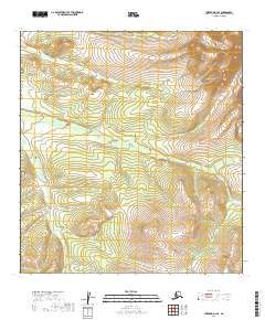
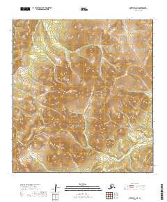
2019 Map of Iditarod D-3 SE
USGS Topo · Published 2019About this map
The remote interior of the Yukon-Koyukuk Census Area is defined by a series of significant drainage systems in this 2019 survey. The landscape is structured around the paths of Windy Cr in the north and the extensive reach of Billy Goat Cr, which winds through the central portion of the quadrangle. These waterways, along with Moose Cr in the southwest, delineate the natural topography of a region largely untouched by modern infrastructure or permanent settlements. The lack of roads or established trails highlights the wilderness character of the Iditarod region, where geographic orientation relies entirely on the complex network of stream valleys and the surveyed boundaries of the Public Land Survey System, such as those within t31n r42w. This map provides a clear record of the area's hydrology and elevation contours before any potential environmental or industrial shifts.
Find a feature on this map
9 named features on this map. Tap any name to fly to it.
Don’t see what you’re looking for? This feature index may not catch every label — zoom into the map to look around manually.
Map Details
Editions of this 2019 Iditarod D-3 SE Map
This is the sole edition of this map. No revisions or reprints were ever made.
Other maps of this area

1951 · Iditarod
USGS Topo · 1:250,000

1954 · Iditarod C-3
USGS Topo · 1:63,360

1954 · Iditarod C-2
USGS Topo · 1:63,360

1954 · Iditarod D-2
USGS Topo · 1:63,360

1954 · Iditarod D-3
USGS Topo · 1:63,360

1956 · Iditarod
USGS Topo · 1:250,000
2019 · Iditarod C-3 NW
USGS Topo · 1:25,000
2019 · Iditarod D-3 NE
USGS Topo · 1:25,000
2019 · Iditarod D-3 SW
USGS Topo · 1:25,000
2019 · Iditarod C-3 NE
USGS Topo · 1:25,000