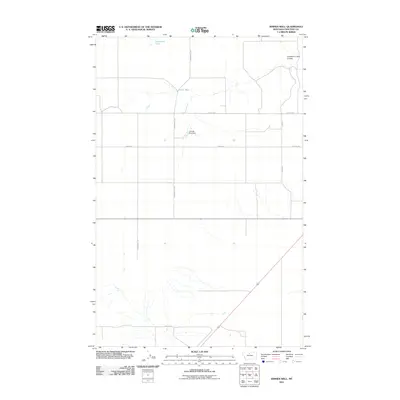
2011 Map of Ihmsen Well
USGS Topo · Published 2011About this map
Lonesome Lake and the drainages of the Lonesome Lake Coulee define this portion of the northern Montana plains. The landscape is characterized by its agricultural grid, where a network of thoroughfares including North Rd, Golden Rd, and Seed Rd provide access to remote outposts. The namesake Ihmsen Well stands as a vital water point in this arid environment, while the Cornett Fish Dam indicates local efforts to manage water resources along the ephemeral creek beds. This 2011 survey captures the area at a time when traditional ranching infrastructure and naming conventions, such as Pickens Rd and Verona Rd, remained central to the geography of Chouteau County.
Find a feature on this map
11 named features on this map. Tap any name to fly to it.
Don’t see what you’re looking for? This feature index may not catch every label — zoom into the map to look around manually.
Map Details
Editions of this 2011 Ihmsen Well Map
This is the sole edition of this map. No revisions or reprints were ever made.
Other maps of this area
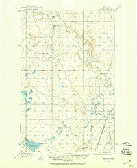
1904 · Boxelder
USGS Topo · 1:62,500
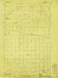
1906 · Lonesome
USGS Topo · 1:62,500
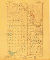
1906 · Boxelder
USGS Topo · 1:62,500
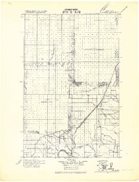
1919 · Big Sandy
USGS Topo · 1:125,000
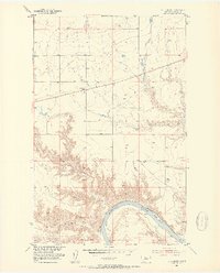
1953 · Boggs Island
USGS Topo · 1:24,000
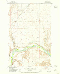
1953 · Verona
USGS Topo · 1:24,000
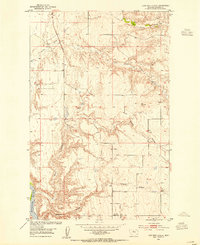
1953 · Lonetree Coulee
USGS Topo · 1:24,000
1954 · Shelby
USGS Topo · 1:250,000
1958 · Shelby
USGS Topo · 1:250,000
1969 · Lonesome Lake
USGS Topo · 1:24,000