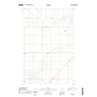
2020 Map of Ihmsen Well
USGS Topo · Published 2020About this map
Ihmsen Well sits at the center of this 2020 landscape in Chouteau County, serving as a primary marker in an area defined by long-established section lines and ranching infrastructure. The terrain is characterized by the winding path of Lonesome Lake Coulee, which cuts across the northern half of the sheet, providing a natural break in the otherwise uniform grid of township and range boundaries.
Find a feature on this map
18 named features on this map. Tap any name to fly to it.
Don’t see what you’re looking for? This feature index may not catch every label — zoom into the map to look around manually.
Map Details
Editions of this 2020 Ihmsen Well Map
This is the sole edition of this map. No revisions or reprints were ever made.
Other maps of this area
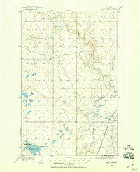
1904 · Boxelder
USGS Topo · 1:62,500
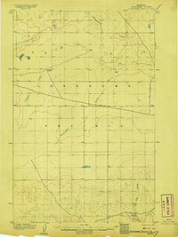
1906 · Lonesome
USGS Topo · 1:62,500
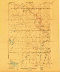
1906 · Boxelder
USGS Topo · 1:62,500
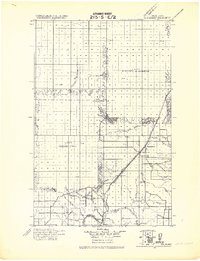
1919 · Big Sandy
USGS Topo · 1:125,000
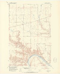
1953 · Boggs Island
USGS Topo · 1:24,000
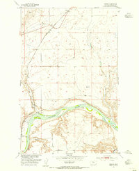
1953 · Verona
USGS Topo · 1:24,000
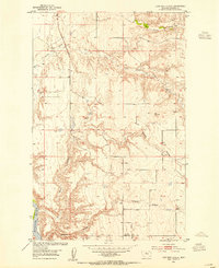
1953 · Lonetree Coulee
USGS Topo · 1:24,000
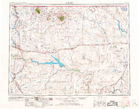
1954 · Shelby
USGS Topo · 1:250,000
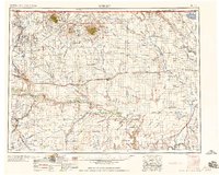
1958 · Shelby
USGS Topo · 1:250,000
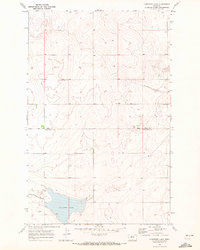
1969 · Lonesome Lake
USGS Topo · 1:24,000