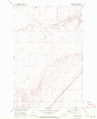
1969 Map of Ihmsen Well
USGS Topo · Published 1972About this map
Ihmsen Well 2758 and the seasonal waters of Lonesome Lake anchor this 1960s study of the Missouri River Basin in Chouteau County. The landscape is defined by its agricultural infrastructure and transport corridors, notably the Burlington Northern railroad slicing diagonally across the southeastern corner. This rail line follows the historic route of the Lewis and Clark Trail, connecting the era's modern freight movement to the region's earliest recorded explorations. Scattered Storage Bins and a central Gravel Pit suggest a working landscape of grain production and road maintenance. The terrain is marked by numerous coulees that drain toward the lake bed, illustrating the natural drainage patterns of the high plains before significant modern development altered the drainage of the basin.
Find a feature on this map
12 named features on this map. Tap any name to fly to it.
Don’t see what you’re looking for? This feature index may not catch every label — zoom into the map to look around manually.
Map Details
Editions of this 1969 Ihmsen Well Map
This is the sole edition of this map. No revisions or reprints were ever made.
Other maps of this area

1904 · Boxelder
USGS Topo · 1:62,500

1906 · Lonesome
USGS Topo · 1:62,500

1906 · Boxelder
USGS Topo · 1:62,500

1919 · Big Sandy
USGS Topo · 1:125,000

1953 · Boggs Island
USGS Topo · 1:24,000

1953 · Verona
USGS Topo · 1:24,000

1953 · Lonetree Coulee
USGS Topo · 1:24,000

1954 · Shelby
USGS Topo · 1:250,000

1958 · Shelby
USGS Topo · 1:250,000
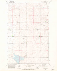
1969 · Lonesome Lake
USGS Topo · 1:24,000