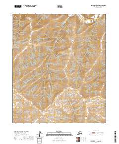
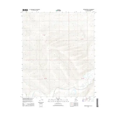
2020 Map of Ikpikpuk River A-4 NW
USGS Topo · Published 2020About this map
The Kigalik River meanders through the northeast corner of this remote North Slope landscape, defining the primary drainage for the surrounding upland terrain. This 2020 survey records the vast, undeveloped expanse of the Arctic tundra across numerous townships, including t2s r14w, t3s r14w, and t4s r14w. The map's high-resolution contour data reveals the subtle topography of the Arctic coastal plain, where the drainage patterns of the Kigalik River and its unnamed tributaries shape the land. It remains a primitive landscape of significant interest to those studying the hydrology and untouched geography of the Alaskan interior before modern shifts in the permafrost environment.
Find a feature on this map
10 named features on this map. Tap any name to fly to it.
Don’t see what you’re looking for? This feature index may not catch every label — zoom into the map to look around manually.
Map Details
Editions of this 2020 Ikpikpuk River A-4 NW Map
This is the sole edition of this map. No revisions or reprints were ever made.
Other maps of this area

1951 · Ikpikpuk River
USGS Topo · 1:250,000

1956 · Ikpikpuk River
USGS Topo · 1:250,000
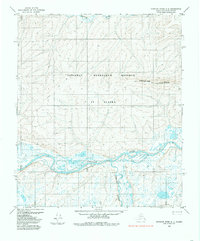
1984 · Ikpikpuk River A-4
USGS Topo · 1:63,360
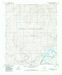
1984 · Ikpikpuk River A-5
USGS Topo · 1:63,360
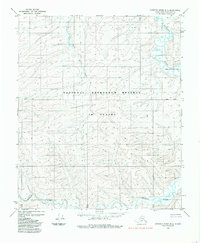
1985 · Ikpikpuk River B-4
USGS Topo · 1:63,360
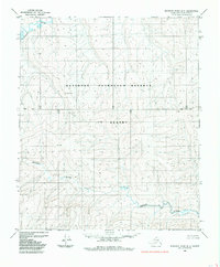
1985 · Ikpikpuk River B-5
USGS Topo · 1:63,360
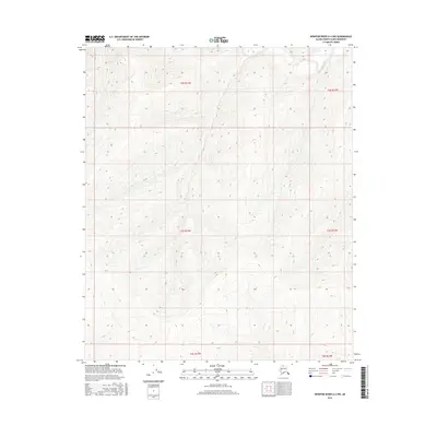
2016 · Ikpikpuk River A-4 NW
USGS Topo · 1:25,000
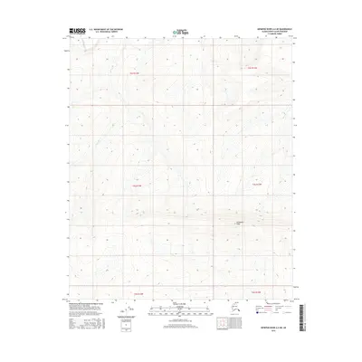
2016 · Ikpikpuk River A-4 NE
USGS Topo · 1:25,000
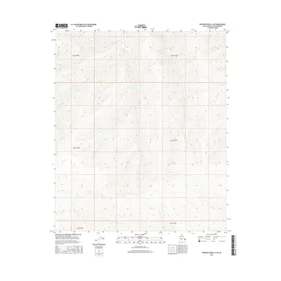
2016 · Ikpikpuk River A-5 NE
USGS Topo · 1:25,000
2016 · Ikpikpuk River B-4 SE
USGS Topo · 1:25,000