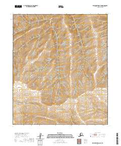
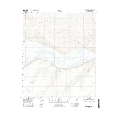
2020 Map of Ikpikpuk River A-5 NE
USGS Topo · Published 2020About this map
North Slope topography defines this remote region within the T3s R15w and T3s R16w townships. This 2020 survey illustrates a wilderness landscape devoid of modern road infrastructure or named settlements, focusing instead on the complex elevation and drainage patterns of the Arctic coastal plain. The terrain is organized by the Public Land Survey System, with boundaries including T2s R15w, T2s R16w, T4s R15w, and T4s R16w clearly delineated. For the researcher, this map provides a precise look at the natural contours and hydrologic features of the Alaska interior before human development, offering a baseline for environmental study or navigation in one of the state's most secluded quadrants.
Find a feature on this map
6 named features on this map. Tap any name to fly to it.
Don’t see what you’re looking for? This feature index may not catch every label — zoom into the map to look around manually.
Map Details
Editions of this 2020 Ikpikpuk River A-5 NE Map
This is the sole edition of this map. No revisions or reprints were ever made.
Other maps of this area

1951 · Ikpikpuk River
USGS Topo · 1:250,000

1956 · Ikpikpuk River
USGS Topo · 1:250,000
1984 · Ikpikpuk River A-4
USGS Topo · 1:63,360
1984 · Ikpikpuk River A-5
USGS Topo · 1:63,360
1985 · Ikpikpuk River B-4
USGS Topo · 1:63,360
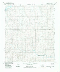
1985 · Ikpikpuk River B-5
USGS Topo · 1:63,360
2016 · Ikpikpuk River A-4 NW
USGS Topo · 1:25,000
2016 · Ikpikpuk River A-5 NE
USGS Topo · 1:25,000
2016 · Ikpikpuk River A-5 SW
USGS Topo · 1:25,000
2016 · Ikpikpuk River A-4 SW
USGS Topo · 1:25,000