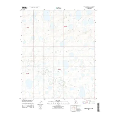
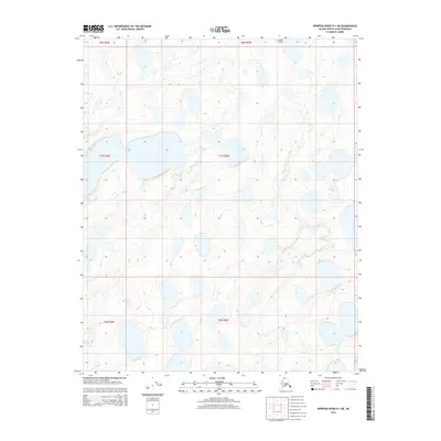
2015 Map of Ikpikpuk River D-1 SE
USGS Topo · Published 2015About this map
Fish Creek flows through the northern reaches of this Arctic landscape, where the terrain is defined by a dense network of thaw lakes and thermokarst depressions. This 2015 USGS survey documents a portion of the Alaskan North Slope, revealing a complex hydrological pattern where Key Creek meanders through the western and central sectors. The lack of roads or established settlements highlights the remoteness of the region, emphasizing the natural state of the tundra ecosystem as it appeared in the early 21st century. The map serves as a detailed record of the shifting water bodies and minor drainages within the townships of t6n r6w and t5n r5w, providing essential data for studying Arctic geomorphology and environmental changes in this sensitive permafrost environment.
Find a feature on this map
6 named features on this map. Tap any name to fly to it.
Don’t see what you’re looking for? This feature index may not catch every label — zoom into the map to look around manually.
Map Details
Editions of this 2015 Ikpikpuk River D-1 SE Map
This is the sole edition of this map. No revisions or reprints were ever made.
Other maps of this area

1951 · Ikpikpuk River
USGS Topo · 1:250,000

1952 · Umiat
USGS Topo · 1:250,000
1955 · Umiat D-5
USGS Topo · 1:63,360

1955 · Umiat C-5
USGS Topo · 1:63,360

1956 · Ikpikpuk River
USGS Topo · 1:250,000

1956 · Umiat
USGS Topo · 1:250,000

1964 · Umiat
USGS Topo · 1:250,000
1984 · Ikpikpuk River D-1
USGS Topo · 1:63,360
1985 · Ikpikpuk River C-1
USGS Topo · 1:63,360
2015 · Ikpikpuk River D-1 NE
USGS Topo · 1:25,000