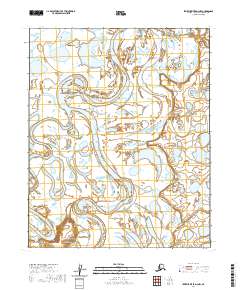
2020 Map of Ikpikpuk River D-3 NW
USGS Topo · Published 2020About this map
Ikpikpuk River and its massive meandering loops dominate this remote Arctic landscape within the North Slope Borough. This segment of the river system is characterized by dramatic fluvial shifts, most notably at the sharp, sweeping curve of Semiutak Bend. The intricate network of oxbow lakes and braided channels shown here illustrates a dynamic hydrologic environment where the water is constantly reshaping the tundra. To the west, the Titaluk River joins the drainage pattern, contributing to the complex wetland mosaic typical of this region's permafrost-underlain terrain. The absence of roads or permanent settlements emphasizes the wilderness character of the area, making this 2020 record an essential reference for understanding contemporary Arctic river morphology and land cover prior to future environmental shifts.
Find a feature on this map
9 named features on this map. Tap any name to fly to it.
Don’t see what you’re looking for? This feature index may not catch every label — zoom into the map to look around manually.
Map Details
Editions of this 2020 Ikpikpuk River D-3 NW Map
This is the sole edition of this map. No revisions or reprints were ever made.
Other maps of this area

1951 · Teshekpuk
USGS Topo · 1:250,000

1951 · Ikpikpuk River
USGS Topo · 1:250,000

1955 · Teshekpuk
USGS Topo · 1:250,000
1955 · Teshekpuk A-3
USGS Topo · 1:63,360
1955 · Teshekpuk A-4
USGS Topo · 1:63,360

1956 · Ikpikpuk River
USGS Topo · 1:250,000

1964 · Teshekpuk
USGS Topo · 1:250,000
1984 · Ikpikpuk River D-3
USGS Topo · 1:63,360
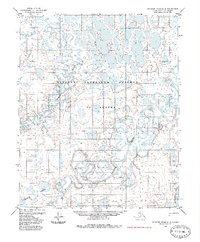
1985 · Ikpikpuk River D-4
USGS Topo · 1:63,360
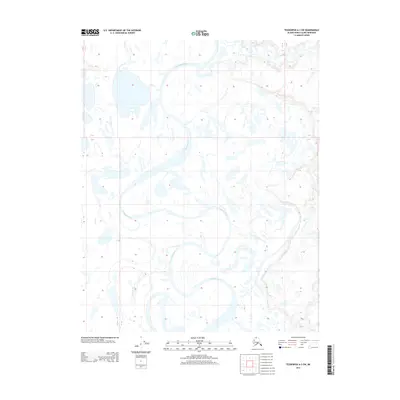
2013 · Teshekpuk A-3 SW
USGS Topo · 1:25,000