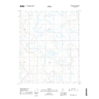
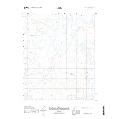
2017 Map of Ikpikpuk River D-3 SW
USGS Topo · Published 2017About this map
The Ikpikpuk River dominates this Arctic landscape on the North Slope, revealing a complex network of active and relic channels. This 2017 survey illustrates the dynamic hydrology of the region, where the Price River joins the larger Ikpikpuk system amidst a dense collection of thermokarst lakes and braided streams. The terrain is characterized by intricate drainage patterns, including smaller tributaries like Fry Creek, which navigate the low-relief tundra. The mapping of township boundaries such as t6n r12w and t5n r11w provides a structural framework over this otherwise fluid wilderness. This edition reflects modern high-resolution data from the National Hydrography Dataset, documenting the shifting watercourses of one of Alaska’s major northward-flowing river systems in the early 21st century.
Find a feature on this map
7 named features on this map. Tap any name to fly to it.
Don’t see what you’re looking for? This feature index may not catch every label — zoom into the map to look around manually.
Map Details
Editions of this 2017 Ikpikpuk River D-3 SW Map
This is the sole edition of this map. No revisions or reprints were ever made.
Other maps of this area

1951 · Ikpikpuk River
USGS Topo · 1:250,000

1956 · Ikpikpuk River
USGS Topo · 1:250,000
1984 · Ikpikpuk River D-3
USGS Topo · 1:63,360
1985 · Ikpikpuk River C-3
USGS Topo · 1:63,360
1985 · Ikpikpuk River C-4
USGS Topo · 1:63,360
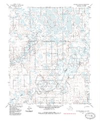
1985 · Ikpikpuk River D-4
USGS Topo · 1:63,360
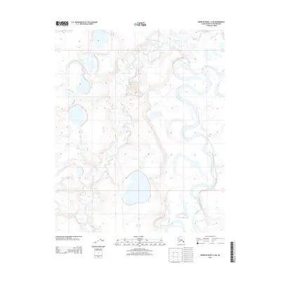
2013 · Ikpikpuk River C-4 NE
USGS Topo · 1:25,000
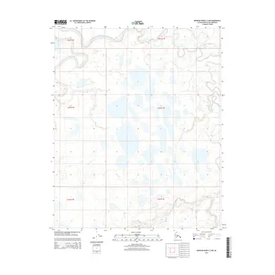
2015 · Ikpikpuk River C-3 NW
USGS Topo · 1:25,000
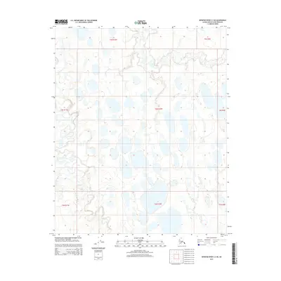
2015 · Ikpikpuk River C-3 NE
USGS Topo · 1:25,000
2017 · Ikpikpuk River D-4 SE
USGS Topo · 1:25,000