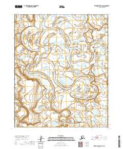
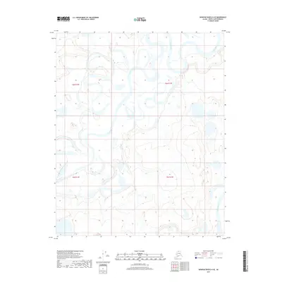
2020 Map of Ikpikpuk River D-3 SW
USGS Topo · Published 2020About this map
Ikpikpuk River winds through a complex network of thaw lakes and meandering channels in this remote Alaskan landscape. The waterway is joined by the Price River as it traverses the low-lying tundra of the North Slope. This 2020 study highlights the intricate hydrology of the Arctic coastal plain, where the shifting courses of these two major rivers create a dense pattern of oxbow lakes and braided streams. The terrain is defined by the underlying township and range system, including t6n r12w and t5n r11w, illustrating how modern surveying persists in even the most unpopulated reaches of the borough. This map is essential for understanding contemporary channel migration and the vast watery geometry of the region before any significant human development.
Find a feature on this map
6 named features on this map. Tap any name to fly to it.
Don’t see what you’re looking for? This feature index may not catch every label — zoom into the map to look around manually.
Map Details
Editions of this 2020 Ikpikpuk River D-3 SW Map
This is the sole edition of this map. No revisions or reprints were ever made.
Other maps of this area

1951 · Ikpikpuk River
USGS Topo · 1:250,000

1956 · Ikpikpuk River
USGS Topo · 1:250,000
1984 · Ikpikpuk River D-3
USGS Topo · 1:63,360
1985 · Ikpikpuk River C-3
USGS Topo · 1:63,360
1985 · Ikpikpuk River C-4
USGS Topo · 1:63,360
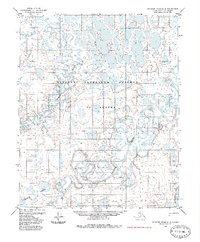
1985 · Ikpikpuk River D-4
USGS Topo · 1:63,360
2013 · Ikpikpuk River C-4 NE
USGS Topo · 1:25,000
2015 · Ikpikpuk River C-3 NW
USGS Topo · 1:25,000
2015 · Ikpikpuk River C-3 NE
USGS Topo · 1:25,000
2017 · Ikpikpuk River D-4 SE
USGS Topo · 1:25,000