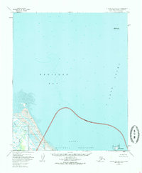
1951 Map of Iliamna A-1 and A-2
USGS Topo · Published 1986About this map
Katmai National Monument defines the southern portion of this coastal survey, where a prominent Monument Boundary separates the protected interior from the waters of Kamishak Bay. The landscape is dominated by the dynamic interaction of water and silt, evidenced by the broad Tidal Flat regions near the mouth of the Douglas River. This era of mapping shows the coastal environment before major modern shifts, capturing specific offshore hazards like Augustine Rocks and the isolated position of Shaw Island in the western Cook Inlet. The absence of roads or trails on the mainland emphasizes the maritime nature of this wilderness at mid-century, where transport and survey work were dictated by the tides and the river system.
Find a feature on this map
8 named features on this map. Tap any name to fly to it.
Don’t see what you’re looking for? This feature index may not catch every label — zoom into the map to look around manually.
Map Details
Editions of this 1951 Iliamna A-1 and A-2 Map
3 editions found
Other maps of this area

1951 · Iliamna A-3
USGS Topo · 1:63,360

1951 · Iliamna A-1 and A-2
USGS Topo · 1:63,360

1951 · Afognak D-5
USGS Topo · 1:63,360

1951 · Afognak D-6
USGS Topo · 1:63,360

1952 · Iliamna
USGS Topo · 1:250,000

1952 · Afognak
USGS Topo · 1:250,000

1954 · Iliamna B-3
USGS Topo · 1:63,360

1957 · Iliamna
USGS Topo · 1:250,000

1958 · Iliamna B-2
USGS Topo · 1:63,360
1983 · Afognak D-6
USGS Topo · 1:63,360