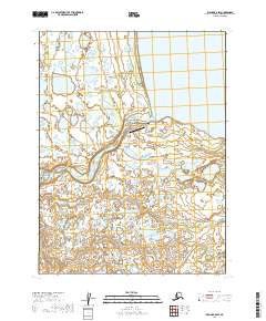
2019 Map of Iliamna B-8 SW
USGS Topo · Published 2019About this map
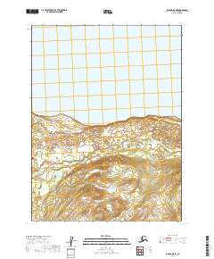
Igiugig sits at the southwestern edge of Iliamna Lake, marking the critical point where the lake's waters begin their journey down the Kvichak River. This 2019 survey illustrates the village's infrastructure, centered around the Igiugig Airport and the connecting Airport/School Access Rd. The settlement pattern is concentrated near the river mouth, while the surrounding landscape is defined by an intricate network of wetlands, ponds, and small drainages like Pecks Cr and Oli Cr. The map details the transition from the open waters of the lake to the braided channels of the river, highlighting the importance of aviation and waterway access for this remote community. Local landmarks such as Landfill Road reflect the modern operational footprint of the village in the early 21st century.
Find a feature on this map
14 named features on this map. Tap any name to fly to it.
Don’t see what you’re looking for? This feature index may not catch every label — zoom into the map to look around manually.
Map Details
Editions of this 2019 Iliamna B-8 SW Map
This is the sole edition of this map. No revisions or reprints were ever made.
Other maps of this area

1951 · Dillingham
USGS Topo · 1:250,000

1951 · Iliamna A-8
USGS Topo · 1:63,360

1951 · Dillingham A-1
USGS Topo · 1:63,360

1952 · Iliamna
USGS Topo · 1:250,000
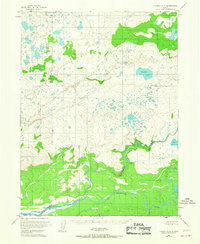
1952 · Iliamna A-8
USGS Topo · 1:63,360

1954 · Dillingham
USGS Topo · 1:250,000
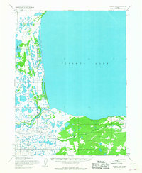
1954 · Iliamna B-8
USGS Topo · 1:63,360
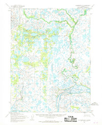
1954 · Dillingham B-1
USGS Topo · 1:63,360

1957 · Iliamna
USGS Topo · 1:250,000
2019 · Iliamna B-8 SE
USGS Topo · 1:25,000