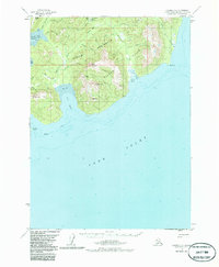
1958 Map of Iliamna C-1
USGS Topo · Published 1986About this map
The Iniskin Peninsula juts into the northern waters of Cook Inlet in this mid-century survey, revealing a landscape defined by its maritime location and early petroleum exploration. The coast is deeply indented by Iniskin Bay and Oil Bay, where industrial activity is evidenced by several Oil Wells and a specifically noted Oil Well near the shoreline. These locations were accessible via a Winter Trail that cuts across the northern terrain, connecting the interior to the coast near Fitz Creek.
Find a feature on this map
30 named features on this map. Tap any name to fly to it.
Don’t see what you’re looking for? This feature index may not catch every label — zoom into the map to look around manually.
Map Details
Editions of this 1958 Iliamna C-1 Map
3 editions found
Other maps of this area

1949 · Iliamna C-1
USGS Topo · 1:63,360

1951 · Seldovia
USGS Topo · 1:250,000

1952 · Iliamna
USGS Topo · 1:250,000

1957 · Iliamna
USGS Topo · 1:250,000

1958 · Iliamna D-2
USGS Topo · 1:63,360

1958 · Iliamna C-2
USGS Topo · 1:63,360

1958 · Iliamna D-1
USGS Topo · 1:63,360

1958 · Iliamna B-2
USGS Topo · 1:63,360

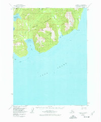
1958 · Iliamna C-1
USGS Topo · 1:63,360
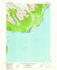
1958 · Seldovia D-8
USGS Topo · 1:63,360