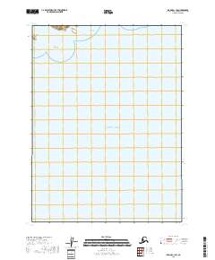
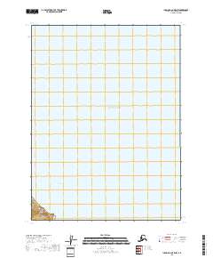
2018 Map of Iliamna C-1 SW
USGS Topo · Published 2018About this map
The vast coastal waters of the Pacific Ocean dominate this portion of the Kenai Peninsula, where the maritime landscape is defined by subtle geological hazards and isolated landforms. In the northern reaches of the sheet, Pomeroy Island and the prominent Big Rock stand as critical navigational landmarks along the shoreline. The presence of Oil Reef near the boundary of t6s r24w and t6s r23w suggests the specialized maritime character of this remote Alaskan coast. This 2018 survey serves as a modern record of a largely uninhabited and aquatic environment, documenting the relationship between the open ocean and the rugged fringe of the peninsula.
Find a feature on this map
6 named features on this map. Tap any name to fly to it.
Don’t see what you’re looking for? This feature index may not catch every label — zoom into the map to look around manually.
Map Details
Editions of this 2018 Iliamna C-1 SW Map
This is the sole edition of this map. No revisions or reprints were ever made.
Other maps of this area

1949 · Iliamna C-1
USGS Topo · 1:63,360

1952 · Iliamna
USGS Topo · 1:250,000

1957 · Iliamna
USGS Topo · 1:250,000

1958 · Iliamna C-2
USGS Topo · 1:63,360

1958 · Iliamna B-2
USGS Topo · 1:63,360

1958 · Iliamna C-1
USGS Topo · 1:63,360
2018 · Iliamna C-2 NE
USGS Topo · 1:25,000
2018 · Iliamna B-2 NE
USGS Topo · 1:25,000
2018 · Iliamna C-1 NE
USGS Topo · 1:25,000
2018 · Iliamna B-2 OE E NW
USGS Topo · 1:25,000