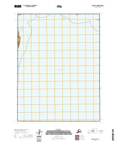
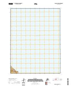
2018 Map of Iliamna C-2 SE
USGS Topo · Published 2018About this map
Cook Inlet dominates this coastal survey, where the waters of the Pacific Ocean meet the intricate shoreline of the Kenai Peninsula. The geography is defined by hazardous maritime features that have long challenged navigation in this reach of Alaska. Along the northwestern edge, South Head stands as a prominent coastal landmark near the exposed outcrops of Black Reef and Turtle Reef. To the northeast, the presence of Iniskin Shoal and Pomeroy Island indicates the complex underwater topography of the inlet. This digital-age record captures the precise state of the coastline as documented by the U.S. Geological Survey in the early 21st century, illustrating a landscape primarily shaped by tidal forces and marine geology rather than human development.
Find a feature on this map
10 named features on this map. Tap any name to fly to it.
Don’t see what you’re looking for? This feature index may not catch every label — zoom into the map to look around manually.
Map Details
Editions of this 2018 Iliamna C-2 SE Map
This is the sole edition of this map. No revisions or reprints were ever made.
Other maps of this area

1949 · Iliamna C-1
USGS Topo · 1:63,360

1952 · Iliamna
USGS Topo · 1:250,000

1957 · Iliamna
USGS Topo · 1:250,000

1958 · Iliamna C-2
USGS Topo · 1:63,360

1958 · Iliamna B-2
USGS Topo · 1:63,360

1958 · Iliamna C-1
USGS Topo · 1:63,360
2018 · Iliamna C-2 NE
USGS Topo · 1:25,000
2018 · Iliamna B-2 NW
USGS Topo · 1:25,000
2018 · Iliamna B-2 NE
USGS Topo · 1:25,000
2018 · Iliamna B-2 OE E NW
USGS Topo · 1:25,000